Go to the menu
Go to the content
Discover
Winter mountains
Great lakes
Summer destination
Activities
Snowsports
Nordic
Cycling
Hiking
Outdoor
Visits
Gastronomy
Your stay
Book your activities
Book your holiday travel
Accommodation
Things to do
Events
Contacts
Ouvrir la modale de recherche
fr
en
Menu
Sport
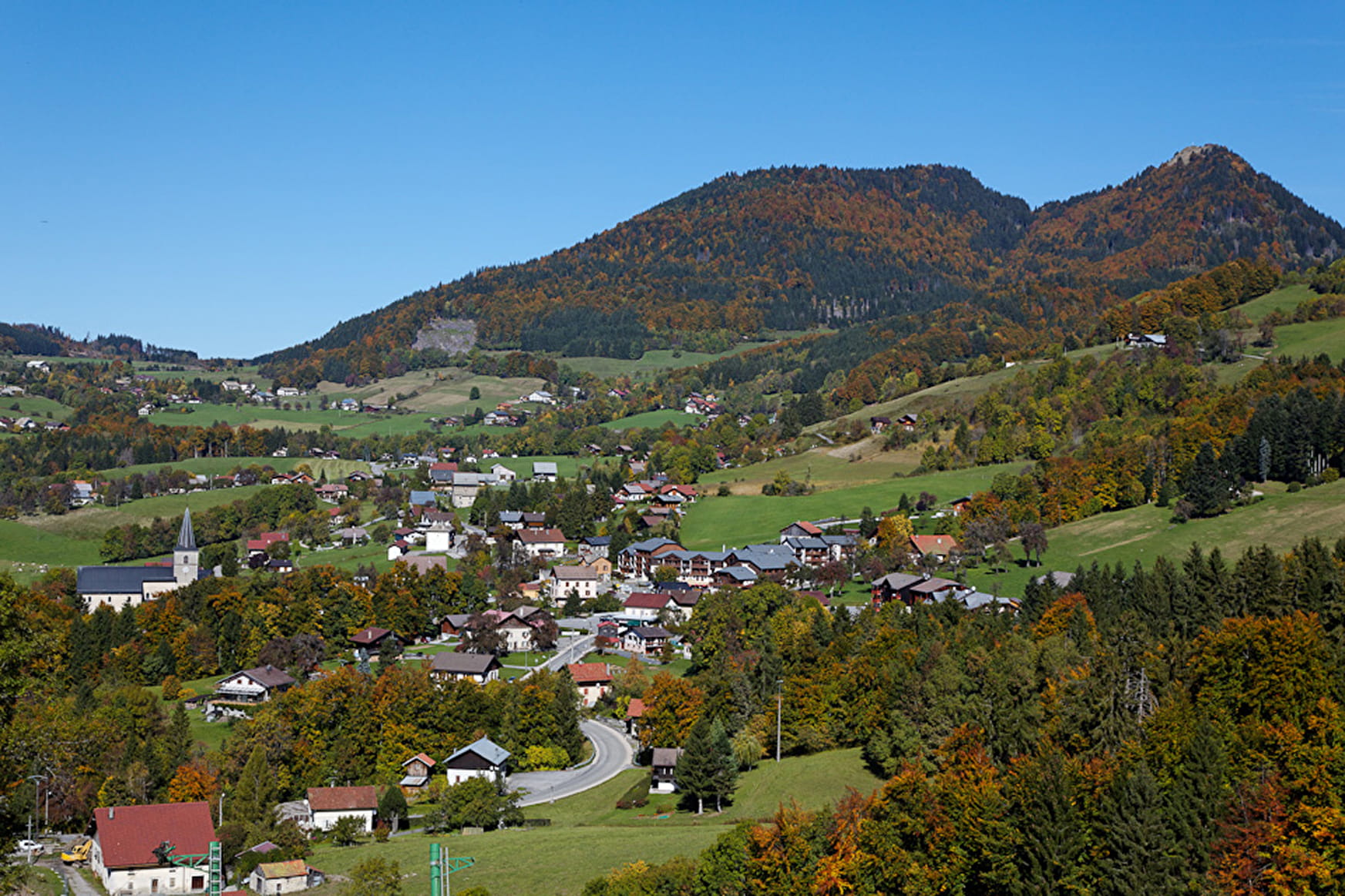
Randonnée "La boucle des Arces"
Walking
Randonnée “La boucle des Arces”
© OT Alpes du Léman
Itinéraire
Sport
Randonnée "La boucle des Arces"
Habère-Poche
Télécharger l'itinéraire
About
Departing from Habère-Poche (74420)
Average length : 04h00
Total elevation gain : 400m
Vertical drop : 400m
Distance : 10.3km
Signed walking trail
Animals allowed
Open the map
Lire la suite
Réduire
Further informations
Loop
Total elevation gain
: 400m
Altitude max
: 1284m
Vertical drop
: 400m
Further informations
Ground
Reception
Animals allowed
Languages spoken :
French
Not adapted to strollers
Benefits
Services
Pets welcome
Restaurant
Contacts
Habère-Poche Office 04 50 39 54 46
Contact by mail
Access to the website
Access
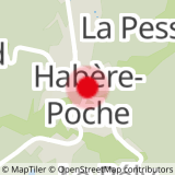
Place des Habères
74420 Habère-Poche
Departing from
: Habère-Poche (74420)
Latitude :
46.248955 -
Longitude :
6.473438
Information update on 25/04/2024 by Office de Tourisme des Alpes du Léman
Back
Continue
Discover our ski resorts
Close
Close
Formulaire de contact
Contact SIT
Last name
*
First name
*
Email
*
Phone number
Subject
*
Message
*
Confidentiality
*
By checking this box and submitting this form, I agree that my personal data will be used to contact me as part of my request indicated in this form. No other processing will be carried out with my information.
reCAPTCHA
If you are human, leave this field blank.
Send
Close
Your research...
Discover
Winter mountains
Great lakes
Summer destination
Activities
Snowsports
Nordic
Cycling
Hiking
Outdoor
Visits
Gastronomy
Your stay
Book your activities
Book your holiday travel
Accommodation
Things to do
Events
Contacts
Facebook
Instagram
Twitter
Youtube
TikTok
fr
en
To search for a topic, just type a word or phrase in the Search box
No results find.
Menu
Your research...
To search for a topic, just type a word or phrase in the Search box
No results find.