• Sport

Pointe de Talamarche - Refuge de Larrieux en 2 jours à pieds

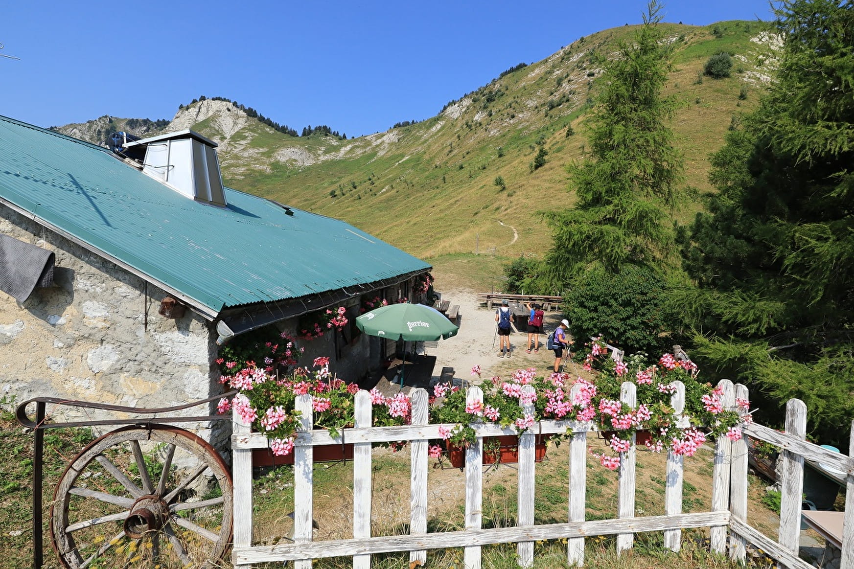
Sport Pointe de Talamarche - Refuge de Larrieux en 2 jours à pieds Thônes

About

Departing from Thônes (74230)
Duration of the itinerary : 2 Days
Total elevation gain : 1112m
Vertical drop : 1112m
Distance : 11km
Signed walking trail
Animals allowed

Loop
Total elevation gain : 1112m
Altitude max : 2320m
Vertical drop : 1112m

Further informations

Rock, Ground

Prices

Free access.

Reception

Animals allowed
Not adapted to strollers

Period of practice

From 15/05 to 30/09.

Services
  • Pets welcome

Access

Parking de Montremont 74230 Thônes
Departing from : Thônes (74230)
Latitude : 45.898838 - Longitude : 6.287595
Information update on 18/04/2024 by Office de Tourisme de Thônes Cœur des Vallées