ROUTE: From the Plan, take the road briefly to LA JUSTE and then the track to L'ETARPAZ. Continue towards PETETRUY, the trail becomes a trail through the pastures. Once on the Route des Chalets, turn left on the alpine trail in a balcony under the Aravis ridge; pass by LA RUALLE and LA BALMAZ. At the crossroad ROUTE DE PLAN BOURGEOIS, turn left. Then at MEGEVAN, take again on the left and join the Plan by LA MOUILLE and LA CÔTE.
POINTS OF INTEREST:
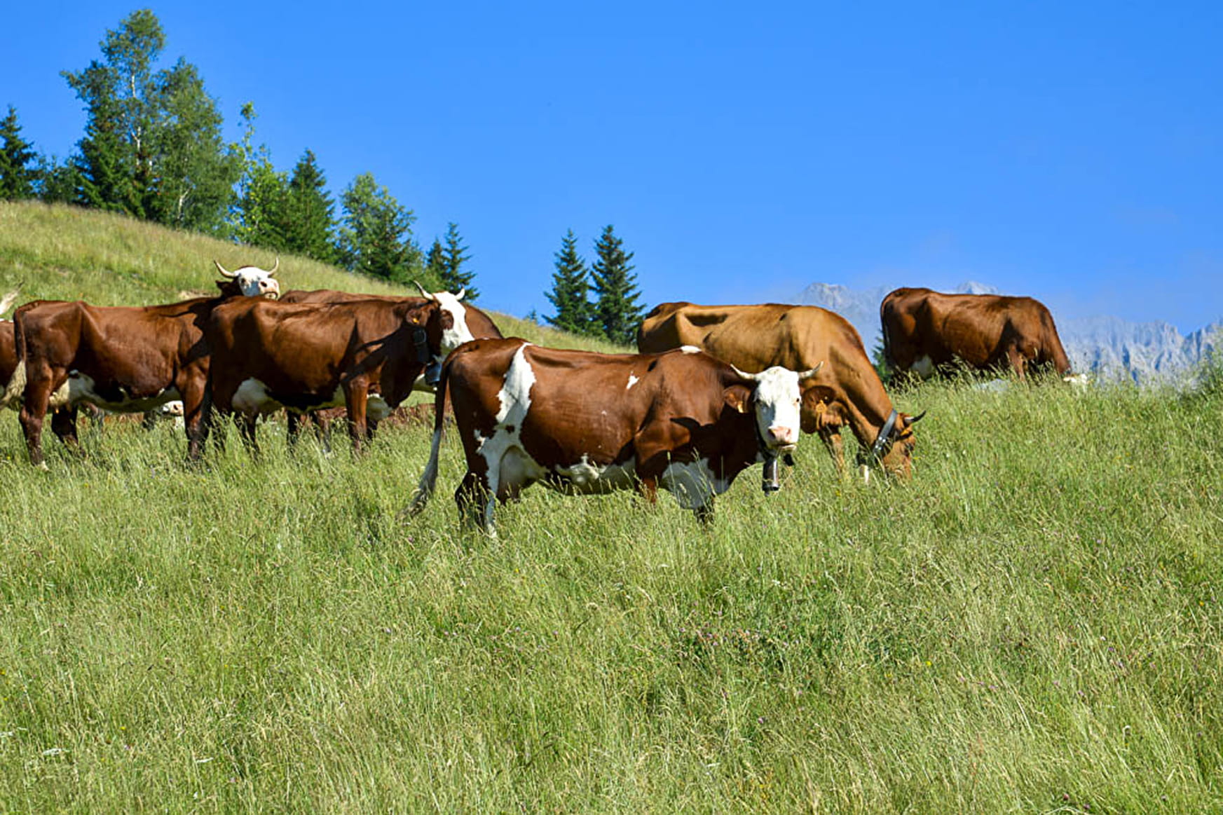
- Panorama on the Aravis peaks.
- Alpine trail in the middle of pastures and herds.
- Sport
Pététruy, at the foot of the Aravis
Savoie Mont Blanc's choice
Discover the Petétruy chalets and the wild combes of the Aravis massif.
Sport Pététruy, at the foot of the Aravis La Giettaz
About

Signs
Marked with yellow signs.
Topoguides references
Walking and hiking map of the Val d'Arly for sale at 9 € or Topo Walks and Short hikes on sale at € 4 in the tourist offices.
1 2


Prices
Walking and hiking map of the Val d'Arly for sale at 9 € or Topo Walks and Short hikes on sale at € 4 in the tourist offices
Methods of payment accepted : Check, Bank/credit card, Cash
Reception
Period of practice
From 01/06 to 30/09.
Services
- Pets welcome
Contacts
Access
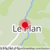
DEPARTURE: The Plan - Parking on the left after the chapel.

