From the village of Le Tour, take the path of Rocher Nay, leave on the right the path of Bisme which goes down to Montroc and cross the bridge of Bisme. Take the Petit Balcon, slightly ascending in the forest, leaving on the left the path of the return of Péclerey. In a corridor, leave the Petit Balcon and go up on the left by a path that leads to the fork where you join the path of Planet and Argentière. Continue up to the left by a long traverse: the larch forest is splendid. Many twists and turns over 250m of difference in level lead to the top of the forest. Cross to the left and descend slightly to the slab shelter under the Tête du Grand Chantet.
More information is available at the Tourist Office or the Office de Haute-Montagne and in our trail guide.
Warning: Trail conditions are subject to change, so be sure to check before you leave.
- Sport
Péclerey hiking trail
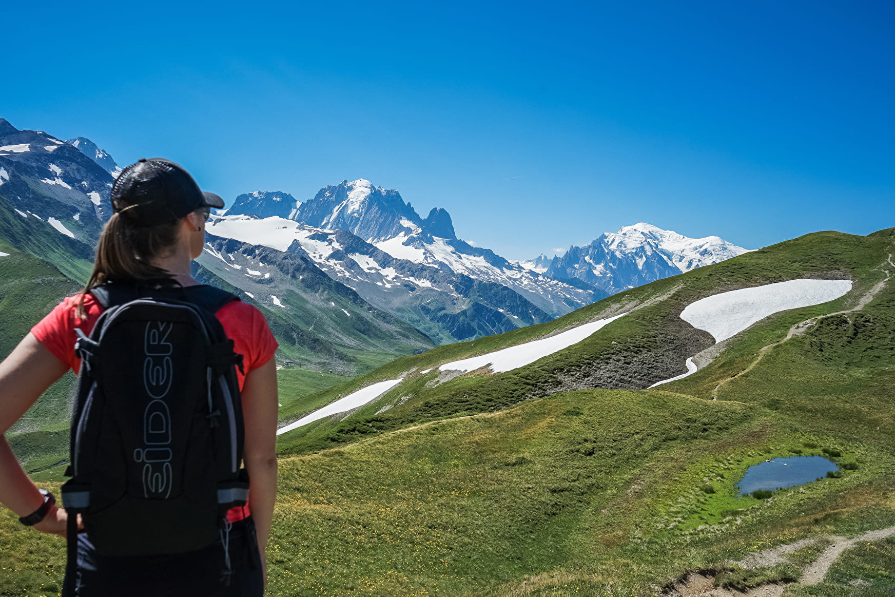
Pastures of Péclerey, under les Becs Rouges, Lachat and La Cluy. Wondeful views of the Aiguilles Rouges and the Glacier du Tour.
Sport Péclerey hiking trail Argentière
About

Further informations
Stone, Ground
Prices
Free access.
Reception
Dogs are not permitted as the path is in the Nature Reserve Les Aiguilles Rouges.
Dogs are not permitted in the Nature Reserve Les Aiguilles Rouges.
Period of practice
From 15/06 to 01/11.
Subject to favorable snow and weather conditions.
Contacts
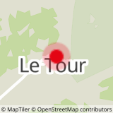
Access
Nearest bus stop : Montroc (20 minutes by foot)
Nearest train stop : Montroc train station (20 minutes by foot)