Enjoy a complete change of scene near the Arrondaz chalets. The rocky outcrops dramatically contrast with the high-altitude vegetation that follows a short distance on. Led up to the mountain pastures for the summer, the herds enjoy the tranquility of the plateau. Their bleating only adds to the serenity of the moment.
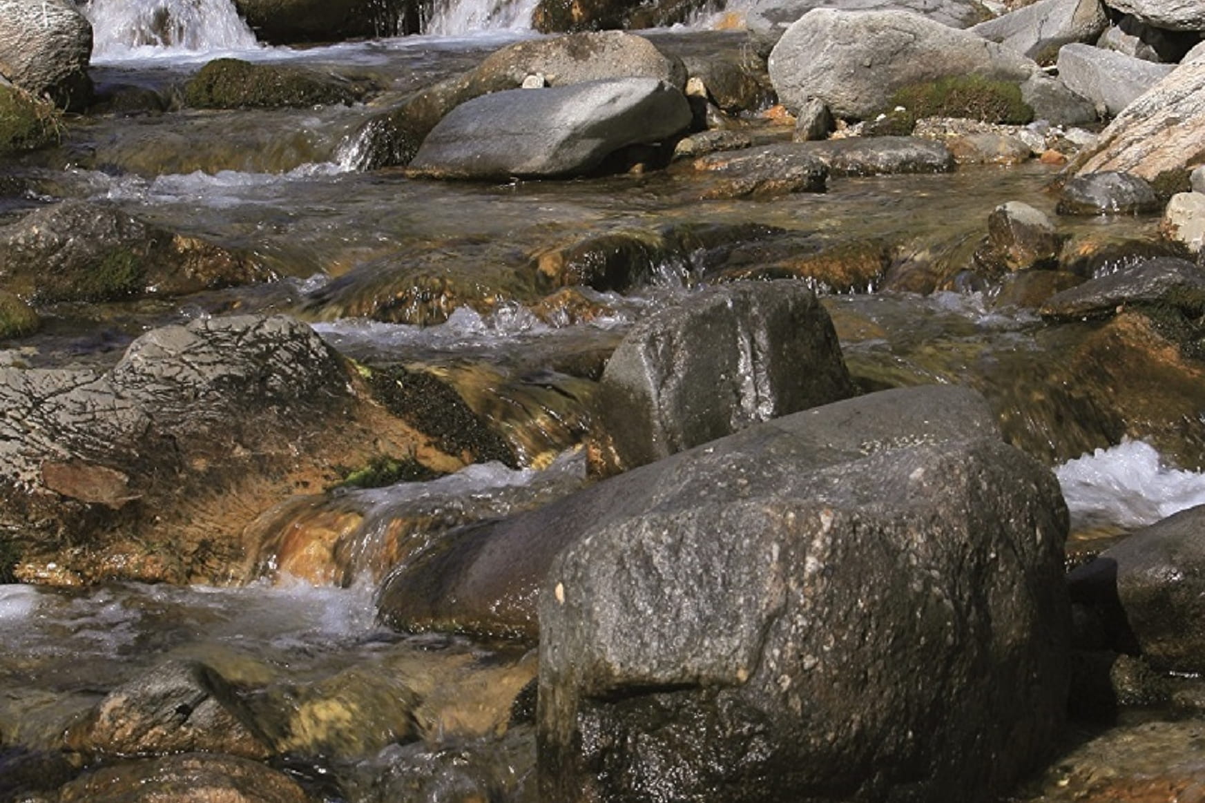
You've got front row seats to admire the imposing Pointe des Sarrasins. If your eyes are sharp enough, you might be able to make out the valleys of Orgère and Polset on the opposite slope. The challenging descent takes you into the so-called "montane zone". Populated with conifers giving out that wonderful scent of resin, Belle Plinier forest will enchant you at every step. Before returning to the Valfréjus resort, take a well-deserved rest by the Charmaix torrent to cool off. This is the torrent that runs down to Fourneaux, 800 m below.
- Sport
Path of the guards by pradieu
This trip to the high-altitude pastures is real-life mountain experience, compelte with idyllic landscapes! Made easy by cable car access, your excursion is all downhill. If you have fragile ankles and knees, you'll need to take care.
Sport Path of the guards by pradieu Valfréjus
About
Map references
Map and booklet "Walks and Hikes Haute Maurienne Vanoise" (sold for € 10 at the Tourist Office)
Topoguides references
Orange route n°55
Further informations
Rock, Stone, Ground
To guide you in the field, consult the "step-by-step" directional diagram provided in pdf.
Prices
Free access.
Reception
Period of practice
From 15/05 to 15/10.
Accessible by ski lift in summer.
Subject to favorable snow and weather conditions.
Services
- Pets welcome
- Accessible via ski lift
- Parking nearby
- Charging stations for electric vehicles
Contacts
Access
Take the Arrondaz cable car to the starting point of this hike.
By bus: Line 1 - Tourist Office stop
By car: park in the parking lot near the Valfréjus Tourist Office.