Starting from the Col du Plan, this half-day hike will allow you to admire the Plateau des Bornes and the surrounding mountains from several points of view.
You will first reach the place called Thuile and its alp before continuing towards under the Plan du Salève.
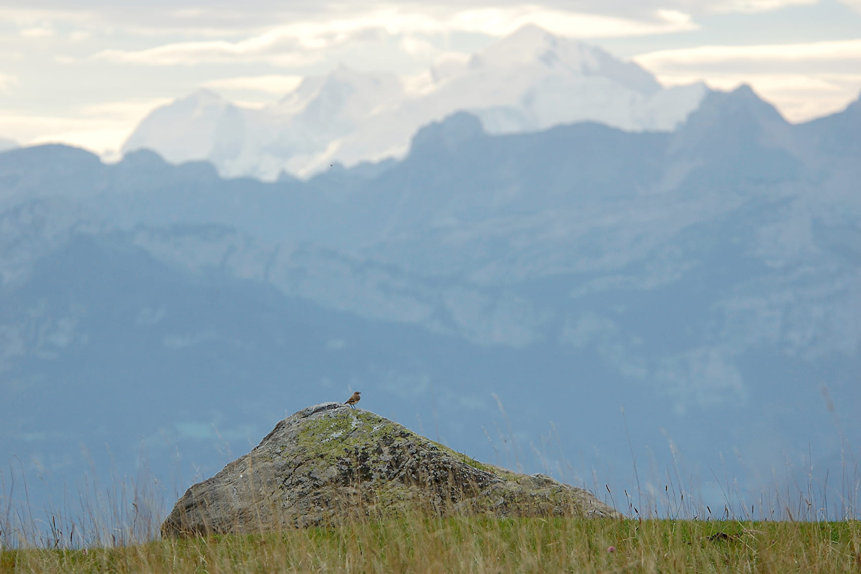
You will finish your hike by reaching the Salève map and its orientation table, which will allow you to better know the peaks that surround you.
Remember to take the picnic for a relaxing moment at the top!
- Sport
Panoramic discovery of the Plan alpine pastures
Savoie Mont Blanc's choice
This walk through the old fields of the Carthusian monks with exceptional views of the surroundings of Geneva and Lake Geneva as well as the Bornes plateau, the Aravis mountains, Lake Annecy and Mont Blanc.
Sport Panoramic discovery of the Plan alpine pastures Beaumont
About

Difficult passages
Risk of mud in rainy weather and steep descent
1 2


0/ Parking Col du Plan
1/ From «Col du Plan Parking» take the direction «Route de la Thuile»
2/ Arrived at «Route de la Thuile» continue towards «La Thuile».
3/ Then from «La Thuile» continue in the direction of «Plan du Salève (Panorama)», you will go through the following directional posts: «Sous Plan du Salève», «Chalet des Convers», «Sur les Convers», «Le Vouarger», «La Brande» and «Chalet du Plan».
4/ From «Plan du Salève» go down to «Chalet du Plan» then join the «Col du Plan» car park and your starting point.
During the walk you can visit the visitors centre (Maison du Salève) in Mikerne by taking the left-hand path before Pomier. This was the Carthusians' old barn. Now it contains exhibitions on aspects of the history of the Salève area and its "firsts" (the invention of rock climbing, famous people who stayed here etc.). You can also step inside its eco-shop and buy a souvenir. A via ferrata called Revacliez lies in the rocks at Pomier and there is no limit on access. Do not use it from February to June, to avoid disturbing the pair of peregrine falcons that nest there.
Prices
Free access.
Reception
Period of practice
Throughout the year : open daily.
Services
- Pets welcome

