Orienteering is a sport that consists of completing a defined course on a very precise map. It can also be a pretext for a walk in nature where you can test your ability to find your way in space.
To practice this physical activity, it is necessary to know how to read a map, to transpose it to the terrain (ability to link the elements of the map with those of the terrain and vice-versa), to know the meaning of the legends and to understand the scales of the terrain. A fun activity for all.
The course is marked by 20 markers (gray posts) placed on the remarkable elements of the terrain, which are referenced on the map as compulsory points of passage. Punch with the clips attached to the different markers.
Official start at the Servoz train station.
20 markers are to be found in the village.
Duration : about 3/4h.
Possibility to do the course in 2 times. Count about 2h for the part Servoz "Le Village", and 1h30 for the part Les Houches "Les ruines du Château St Michel".
- Sport
Orienteering route of Servoz
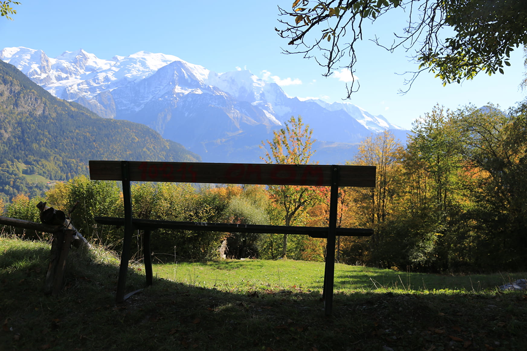
Come and discover Servoz via its brand new orientation course.
Sport Orienteering route of Servoz Servoz
About
Prices
Free of charge.
Reception
Period of practice
All year round.
Subject to favorable weather.
Services
- Pets welcome
Contacts
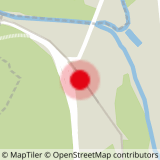
Access
Closest bus stop : Servoz - Gare
Closest train stop : Servoz train station
Closest parking : Servoz train station / Le Lac car-parks
