Orienteering is a sport that consists of completing a defined course on a very precise map. It can also be a pretext for a walk in nature where you can test your ability to find your way in space.
To practice this physical activity, it is necessary to know how to read a map, to transpose it to the terrain (ability to link the elements of the map with those of the terrain and vice-versa), to know the meaning of the legends and to understand the scales of the terrain. A fun activity for all.
The course is marked by 18 markers (grey posts), placed on remarkable elements of the terrain, which are referenced on the map as obligatory points of passage. Punch with the clips attached to the different markers.
The orientation maps are available at the Tourist Office of Les Houches.
- Sport
Orienteering route of Les Houches - Les Chavants
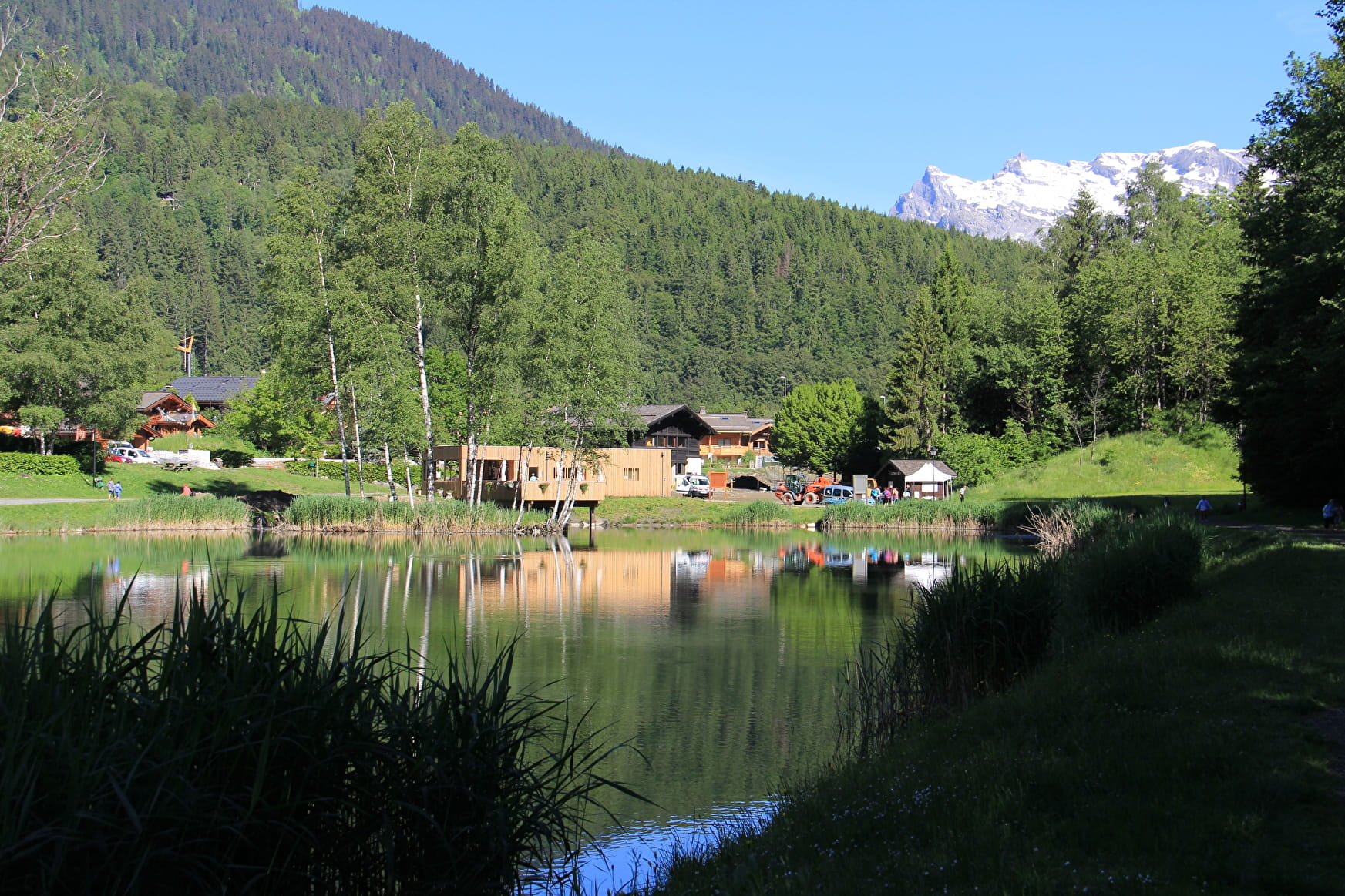
Come and discover the Chavants and its orientation course.
Sport Orienteering route of Les Houches - Les Chavants Les Houches
About
1 3


Enjoy several activities in Les Chavants.
In winter, try it with snowshoeing.
Prices
Free of charge.
Reception
Period of practice
All year round.
Subject to favorable weather.
Services
- Pets welcome
- Picnic area
- Public WC
- Defibrillator
Contacts
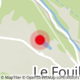
Access
Closest bus stop : Le Prarion
Closest train stop : Viaduc Sainte-Marie train stop
Closest parking : Le Prarion / Les Chavants car-parks


