In the heart of the fir trees and spruces, at the foot of the Mont-Blanc, the Bois du Bouchet site has many assets. In a grandiose landscape, this permanent orienteering course allows the discovery of an exceptional environment shared by many sports enthusiasts.
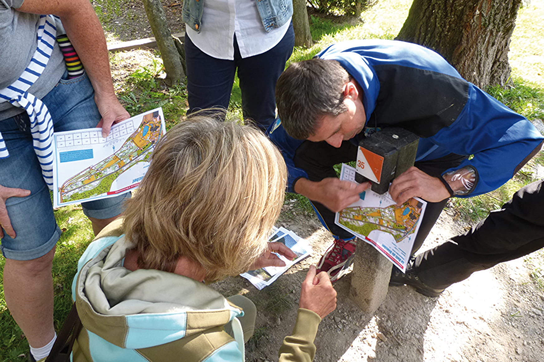
Orienteering is a sport that consists in following a course defined on a very precise map. It can also be a pretext for a walk in the countryside where you can test your ability to find your way in space.
To practice this physical activity, it is necessary to know how to read a map, to transpose it to the terrain (ability to link the elements of the map with those of the terrain and vice-versa), to know the meaning of the legends and to understand the scales of the terrain. A fun activity for all.
The course is marked by 20 markers (orange and white markers), placed on remarkable elements of the terrain, which are referenced on the map as obligatory points of passage. Punch with the clips attached to the different markers.
- Sport
Orienteering route of Chamonix Bois du Bouchet
Come and discover the Bois du Bouchet and its orientation course.
Sport Orienteering route of Chamonix Bois du Bouchet Chamonix-Mont-Blanc
About
Prices
Free of charge.
Reception
Period of practice
All year round.
Subject to favorable weather.
Services
- Pets welcome
- Picnic area
Contacts
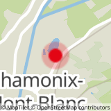
Access
Closest bus stop : Les Mouilles
Mulet stop : Les Mouilles
Closest train stop : Chamonix Centre train station
Closest parking : Corzolet / Bouchet / Mediatheque / Fond des Gires car-parks
