- Sport
Mont Saint Michel and the croix Tête de Beurre
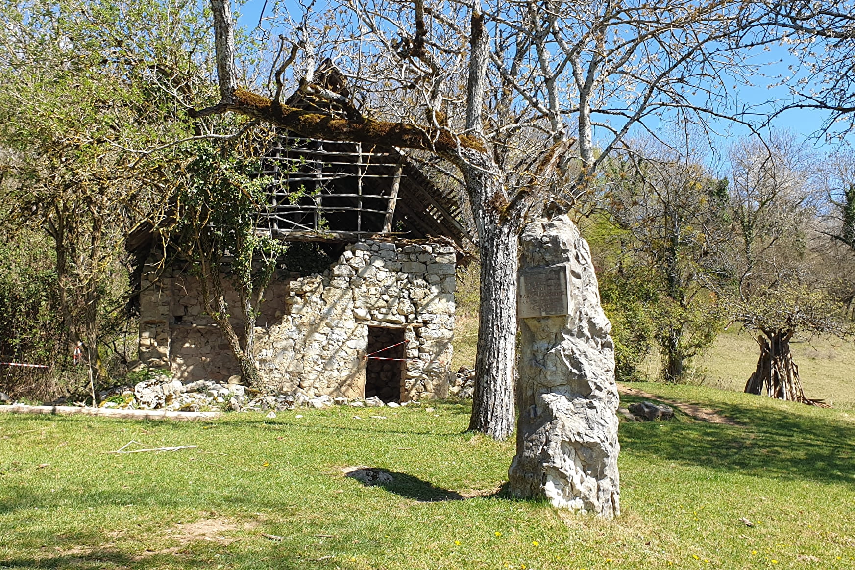
Sport Mont Saint Michel and the croix Tête de Beurre Challes-les-Eaux
About

Further informations
Stone, Ground, Hard coating (tar, cement, flooring)
1 3


Reception
Period of practice
All year round.
Equipments
- Free car park
- Car park
- Public WC
- Picnic area
- Play area
Contacts
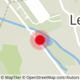
Access
By car: park in the car park of the Plan d'Eau, rond-point Aviateur Joseph Thoret.
By bus: from the centre of Chambéry, take line 2 (direction Gonrat / Les Frasses) and get off at the "Plan d'eau" stop. More information on synchro.grandchambery.fr.


