Start from the car park at PLAN DESERT. Go towards the LAC DU GUÏ and then go up to MONT VORES via Sous la Roche, Grand Roche, Crête de Douce, Crête du Vorès and Pied du Mont. From the summit, go back down to PLAN DESERT via Les Trois Coins, Le Col de la limace, La Limace, Le Bouza and Sous le Bouza.
TO SEE :
The Chalets du Bouza and De la Limace, both fine examples of the unspoilt architecture of these old farmhouses.
INTERESTING FACT :
The Col de la Basse Combe was where smugglers used to cross, transporting their contreband from Italy into France. The village of Notre Dame de Bellecombe was located in the free zone between 1860 and 1923. During this time, several customs officers were posted to the village in order to deal with any smuggling activity.
- Sport
Mont de Vorès
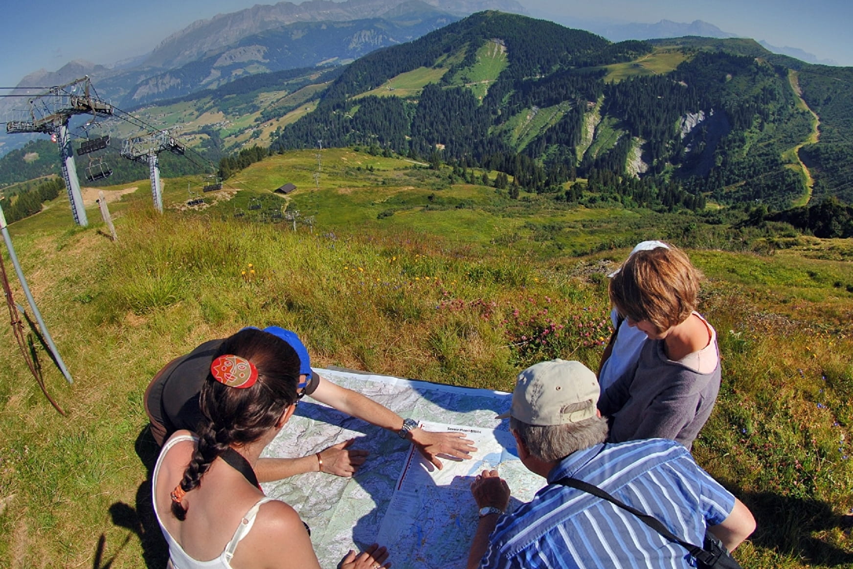
Beautiful hike allowing you to reach the summit at an altitude of 2069m. You will discover mountain pastures and panoramic views.
Sport Mont de Vorès Notre-Dame-de-Bellecombe
About

Signs
Marked with yellow signs.
Further informations
Stone, Ground
Prices
Map of walking routes on sale at the Tourist Office at € 9.
Methods of payment accepted : Cash
Reception
Period of practice
From 01/06 to 01/10.
Services
- Pets welcome
- Car park