(1) From the parking, follow the GR9 (red and white markers) to the hamlet of Jallière. We find the road for a few moments before continuing on a good path to the meadows of Montjalat (1150 m). The path enters the forest and, after a hundred meters, leaves the GR at the Pied de Velouse (2) to go to the right (signposted Emeindras). We join below a wider path,
which leads us to the habert (sheepfold) of the Emeindras de Dessous (ruins of a refuge destroyed by an avalanche). (3) The path follows a wide curve to the right in the meadow before reaching the Emeindras de Dessus (4), a habert used by the guardian of the herds of cows, which spend the summer here. The ridge which dominates offers a splendid panorama on the Alps, from Taillefer to the Mont Blanc, the chain of Belledonne and the peaks of Chartreuse (Dent de Crolles, Chamechaude, Grand Som...).
For the descent, we will follow, in the first big bend on the right under the Emeindras de Dessus, the steep forest path which leaves on the left (5). Cross the torrent and turn left again at the crossroads.
(6) At the hamlet of Combes, we join the road for 200 m, before returning to the parking, on the right at the crossroads of the Rocher.
To see / to do near the route :
- Petits Jardiniers (10 km from the start): cultivation of medicinal plants.
- Arcabas Museum in Chartreuse (13 km from the start): church of St Hugues.
- Badiane Créations (14 km from the start): clothing creations.
- Museum of the Grande Chartreuse (15 km from the start): audio-guided visit.
All the information and other ideas of visits on chartreuse-tourisme.com/rsf
Information / safety :
- it is advisable to adopt some rules and to follow some advices to fully enjoy your walks and hikes in complete safety! Before leaving, follow our recommendations and advice on chartreuse-tourisme.com/advice-rando-trail (or on request in the tourist offices).
- Note: the mountain leader is a specialist in mountain fauna and flora, off-trail hikes away from the crowds, local history, alpine and rural traditions, etc. in complete safety! Call on them! Detailed list on chartreuse-tourisme.com/accomp (or in the tourist offices).
- You hike under your own responsibility. Chartreuse Tourisme and the tourist offices cannot be held responsible for the proposed itineraries.
Useful numbers :
- Meteo (to be consulted imperatively before your departure) : 3250 or www.meteo.fr
- Mountain rescue : 112
- Sport
Loop of Emeindras
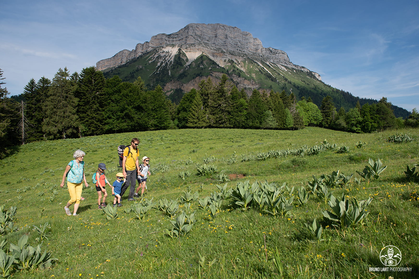
A very pleasant loop through the forest and across meadows, to enjoy the beautiful Alpine pastures. Perfect with family or friends.
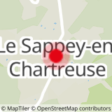
Sport Loop of Emeindras Le Sappey-en-Chartreuse
About

Prices
Free of charge.
Reception
Period of practice
From 01/05 to 30/11.