It is one of the twelve hamlets in the commune of Saint Sorlin d'Arves and takes its name from a legend: the inhabitants used to produce a baked cow's cheese here, in the shape of a small wheel. Now abandoned, a few ruins remain, offering a glimpse into another era.
- Sport
Les Vachers
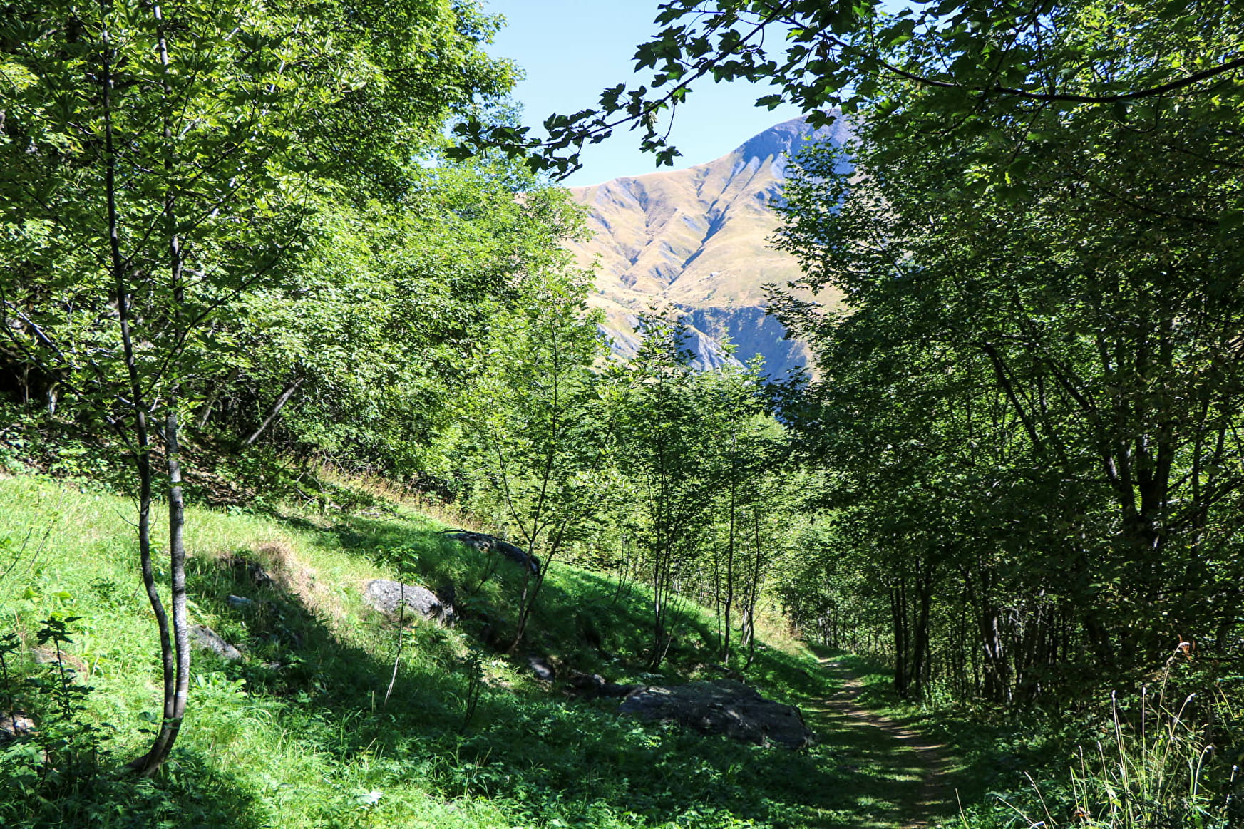
Discover this small hamlet in the forest and immerse yourself in the heart of an ancient mountain village.
Sport Les Vachers Saint-Sorlin-d'Arves
About

Further informations
Stone, Ground
1 3


From the Plan du Moulin (500 metres below the Tourist Office, follow "Aire de jeux"), pass the point leading to the tennis/leisure centre and walk along the mountain side of the football pitch on the right. Follow the path (steep for 200 m) that zig-zags up the side of the Crêt d'Ornon. Once you reach the flat, there is a fine panoramic view of the village and the hamlet of Les Vachers. Follow the path to the left, which climbs slightly to the east through the undergrowth. You can leave the balcony path at Malcrozet (1-hour loop), or further on at Cluny (1.5-hour loop), or even further on at La Curiaz (2-hour loop). Return along the D926 road or by the same route.
Reception
Services
- Pets welcome
- Car park
- Free car park


