Duration: 1 hour
Difference in altitude: +100m
Altitude at start point: 825m
Altitude at end point: 925m
Map reference: IGN TOP 25 - 3429ET map
Signage: wood panels and yellow painting
Difficulty: easy
Quarries were dug out all over the forest (mainly sandstone) over 200m. Quarries have been used since Antiquity but have not been used since the mid-19th century. You can still see incomplete relics in the caves formed by the extraction of huge stones.
- Sport
Les Meulières de la Corbière route
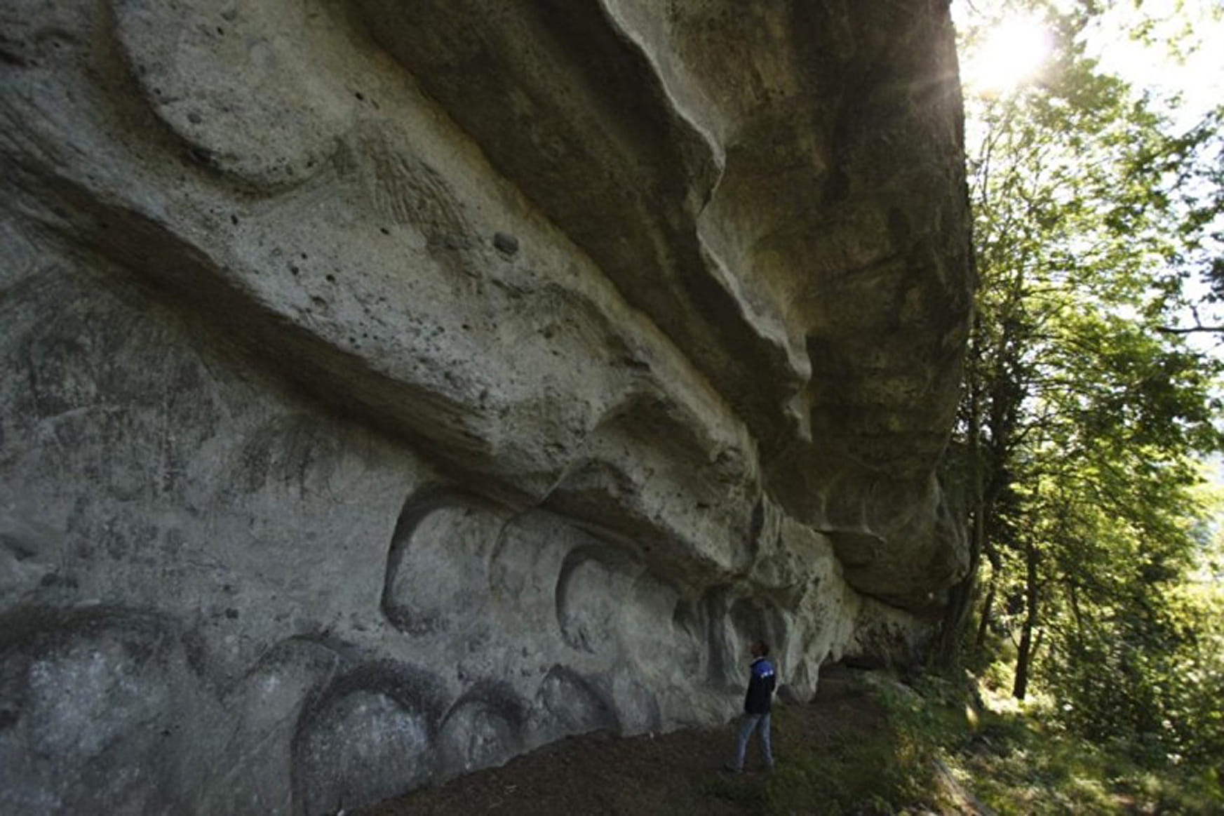
Hiking trail to learn about a little known age-old activity: stoneworkers at our region's flour mills. "Molière" is a natural setting of stunning beauty.
Sport Les Meulières de la Corbière route Saint-André-de-Boëge
About

Reception
A guidebook of hikesis available at the Alpes du Leman tourist office.
Period of practice
From 01/04 to 31/10.
Services
- Pets welcome
Contacts
Access
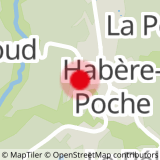
From Boëge, head from "Pont de Fillinges". When you reach "Corbière", follow the route de la Molière. Follow signage once you reach the main road.