- Sport
Les Hauts de Saint-Genix
Discovering our rural landscapes ! This marked route will take you on the height from the village of St Genix sur Guiers and you will also discover two visible "big houses" along the way.
Sport Les Hauts de Saint-Genix Saint-Genix-les-Villages
About

1 3


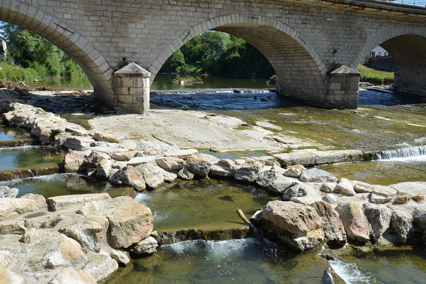
Look for the sign on the esplanade along the bridge. Go down the little road and follow the directions for the river Guiers.Follow the yellow arrows. From the Urice Ridge you can reach the north side of the hill by going through the Côte Envers chestnut tree forest. The route at the foot of the hill is part of Saint James Way (Route of Santiago de Compostela) with its hillside leading to the forest and eventually taking you back down to the Pigneux and Saint Genix sur Guiers chapel, where you will find your starting point.
Prices
Free of charge
Reception
Period of practice
All year round.
Services
- Pets welcome
- Public WC