From the small shopping mall of Plan-Peisey. At the end of the shopping mall, turn right and pass by the restaurant "La Vache". Continue straight ahead to "Vieux Plan" and follow the road up to the chapel.
Then from the Vernettes chapel, go toward the oratory, take the path on the right wich follows the Poncet creek and the Carro blanc forest.. Once in Pracompuet, follow straight ahead to "la Chenarie". Take the path of "la Recourbette", on the right of the houses in front of the chapel. Follow on the paved road of "la Chenarie" down to the D87 in Nancroix. Shuttles in winter and summer back to Peisey Télévillage lift to go back to the resort.
- Sport
Le tour de l'aiguille Rousse
Magnificent path to a jewel of the baroque art : the Chapel of Vernettes at 1800 m. Then short stroll at the edge of the forest, very agreable along the creek.
Sport Le tour de l'aiguille Rousse Peisey-Vallandry
About

Map references
TOP 25 IGN 3532 ET Les Arcs/La Plagne/Parc national de la Vanoise
1 6


From Nancroix - la Chenarie :
At the chapel of la Chenarie, cross the bridge and head towards the hamlet of Pracompuet, then ND des Vernettes along old mule tracks. Then take the path that goes north towards the Entreporte pass.
From the station: head towards ND des Vernettes and take the first path on the left towards the Rey plateau and then the Entreporte pass.
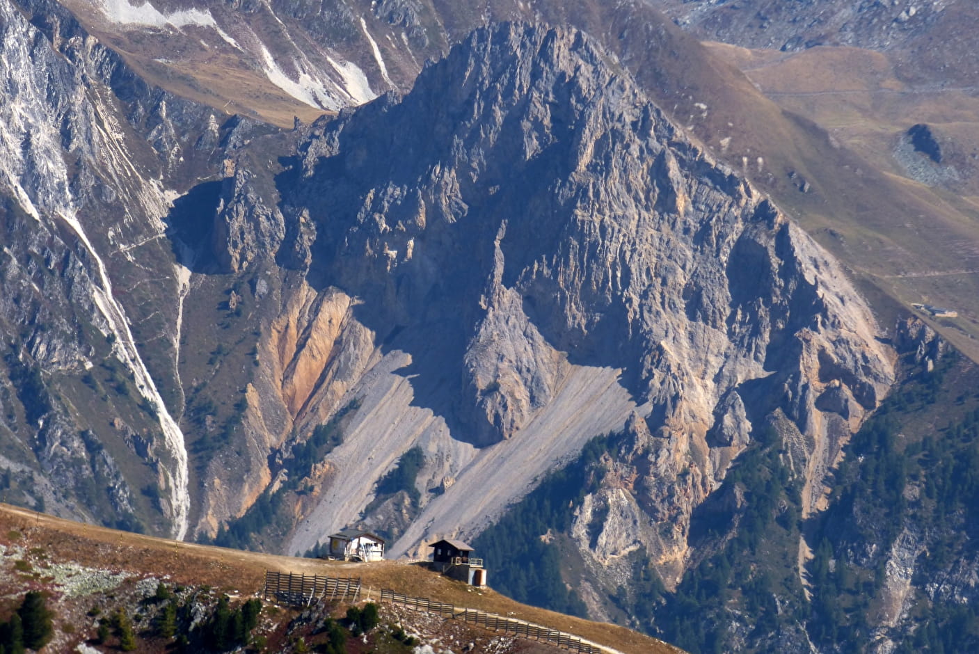
At the col d'Entreporte, go down to the alpage de la Chail (abandoned) and then to the isolated house of la Grangette by a pastoral track and join the forest of Carroz-Blanc.
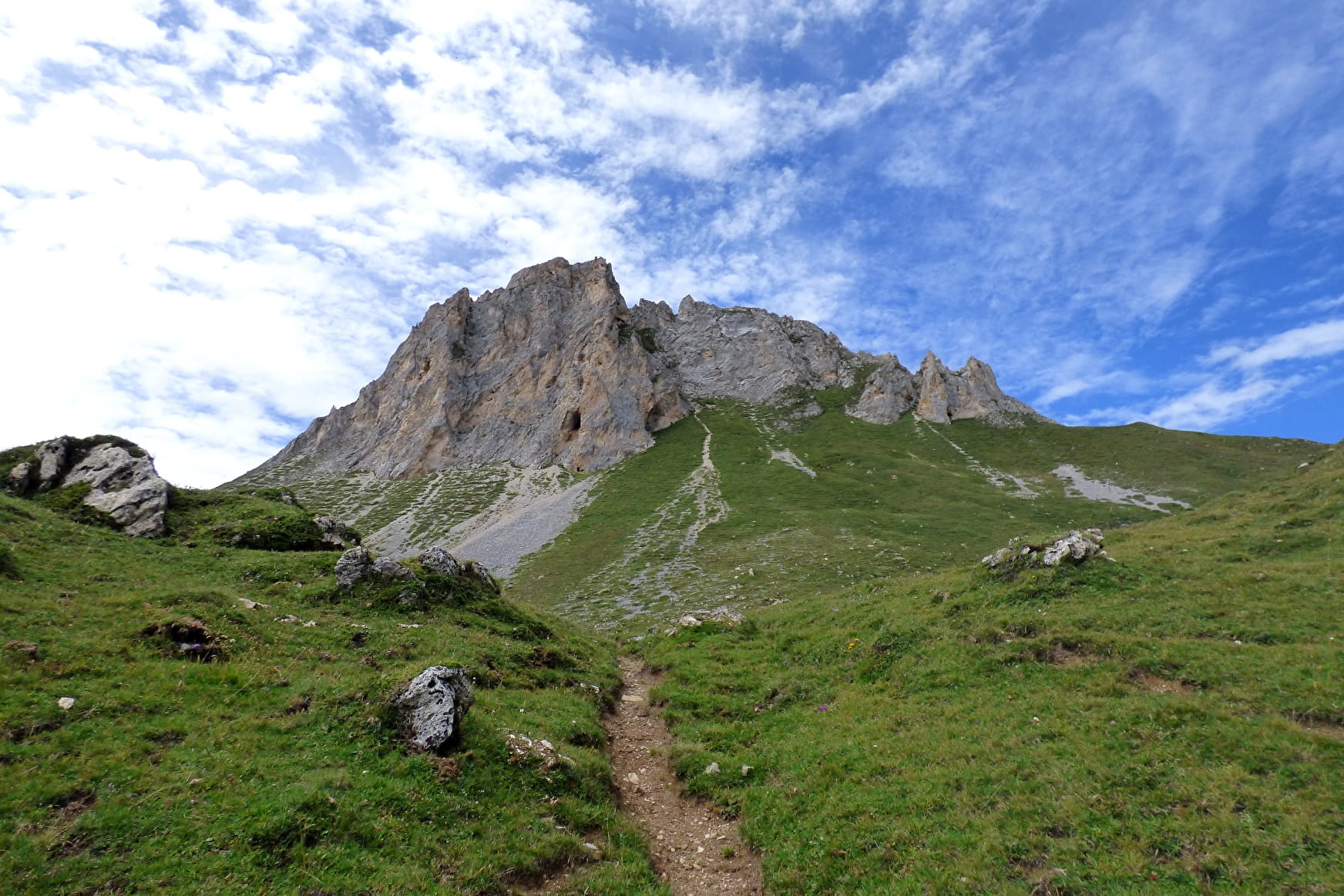
At the first bend, take the path that passes under the Aiguille Rousse, except in bad weather.
Just before crossing the main stream, people returning to Nancroix stay in the Carroz Blanc forest: path on the left. Those going back to the resort cross the Poncette stream and go back to Les Vernettes and then the resort.
Difficulties: Good walkers with good footing. A lot of unevenness. Several aerial or tricky passages. Possible rock falls. In stormy weather on the way down: stay on the pastoral track. Easy return to the station from la Chenarie. No drinking water upstream of Les Vernettes.
Prices
Free access.
Reception
Pets allowed if you don't take the shuttle.
Period of practice
From 01/01 to 31/12.
Remember to contact your Tourism Officeto learn about the feasibility of the paths.
Services
- Pets welcome
Contacts
Access
Go to the chapel of La Chenarie to start the walk.