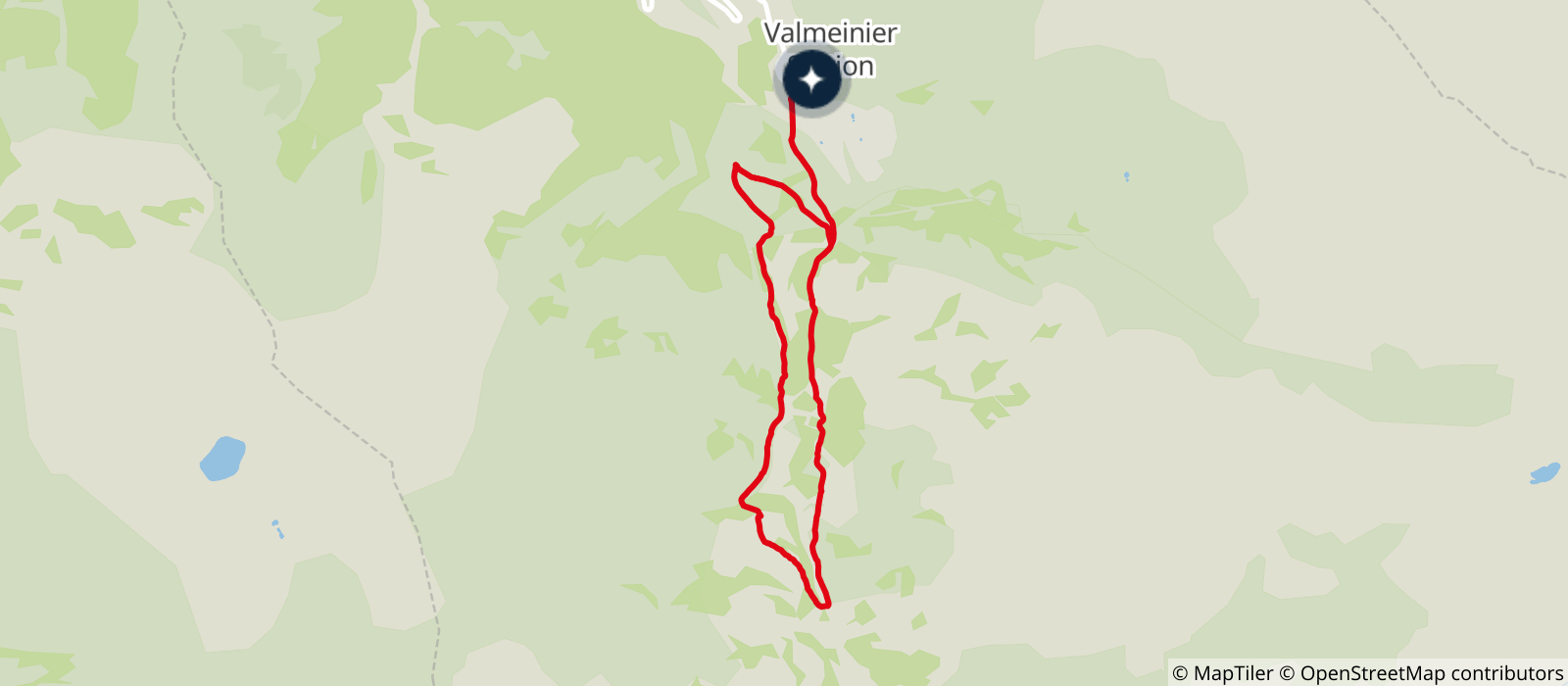
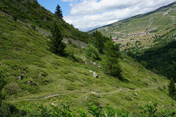
Departure from the chairlift of the games, leave the station by the footbridge by following the track to join the Désert d'en Haut. From there, continue to go down the slope towards La Chaudanne. From this point, turn right and join Les Déserts by passing by the Baudronnerie. From Les Déserts turn left to reach Les Lières then follow Sous Chotion. There begins the path of the Butterflies. Continue in the direction of Sous Cotérieux then Mathoset. In Mathoset cross the bridge and take the direction of l'Ordière. Then follow the direction of La Chenalette. From La Chenalette take the track towards Les Traverses, then La Chaudanne. From there return to the starting point by the same route.
- Sport
Le sentier des papillons

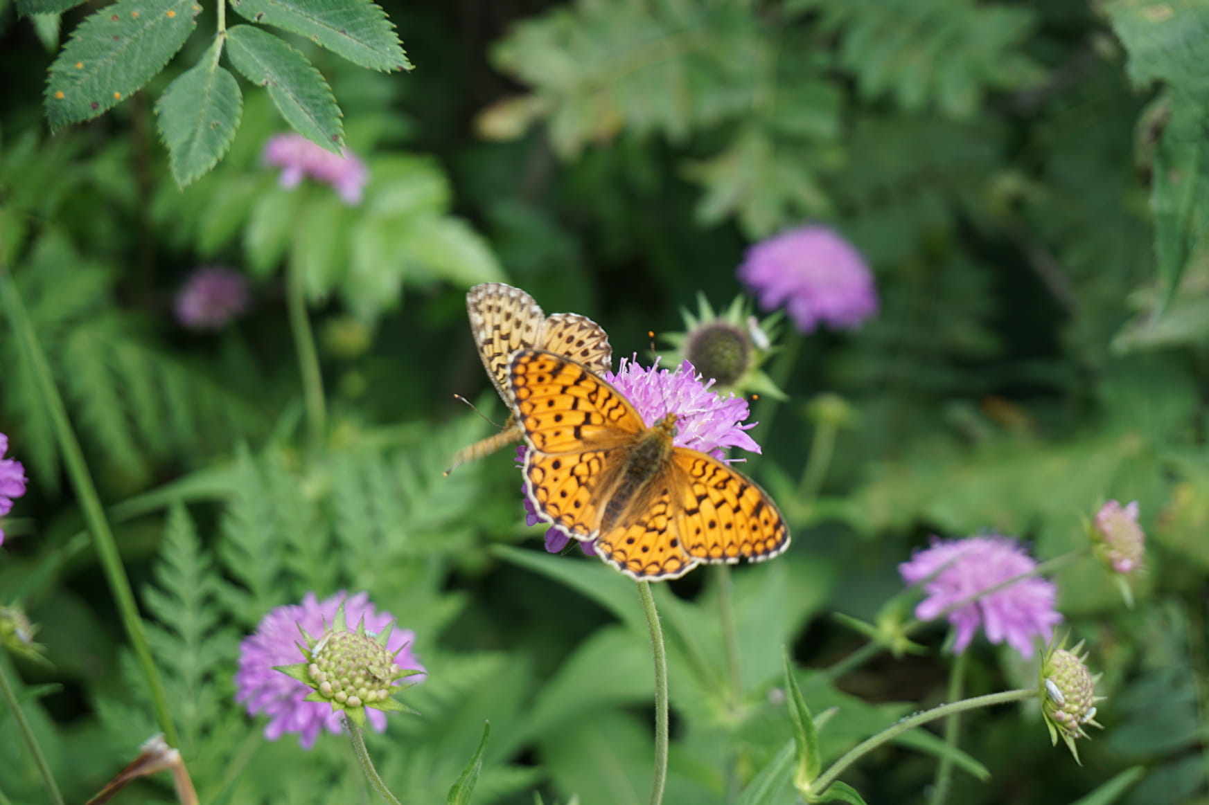
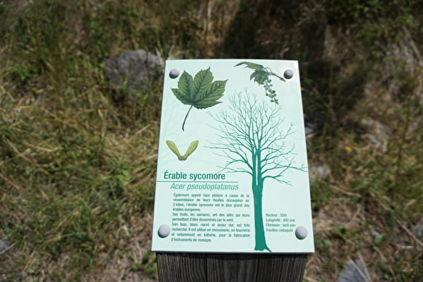
Enter the world of butterflies in the Mont-Thabor massif. At each step, you will be asked a question, the answer is hidden in the landscape. It's up to you to find it! Wonders, species, lifestyles, habitats and roles of this insect will be revealed to you.

Sport Le sentier des papillons Valmeinier
About
Prices
Free of charge.
Reception
Period of practice
From 01/05 to 30/11.
Equipments
- Play area
Contacts
Access


