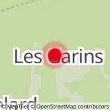
From the village of Châtelard, make your way to the hamlet of Les Garins (road opposite the pharmacy). Park at the end of the road. Take the track (white-red/GR 96) which rises into the meadows, passing close to two stone chalets (gite/refuge). After 3 hairpin bends, the track comes back on the mountainside towards "Col du Plane". Then get off it for a steep path on your right. Higher up, turn off towards the left. You walk on the ridge in the forest and through the rocks which are pleasant and easy to climb. You are now overlooking the Doucy Valley and its villages at the foot of the imposing mass of Trélod Mountain. After the first peak (1,645 m), follow the ridge up to the summit. Go back down via the same route until the forestry road then find, opposite the junction to the forestry track, the old path which descends directly to the Gîte des Garins.
- Sport
Le Mont Julioz
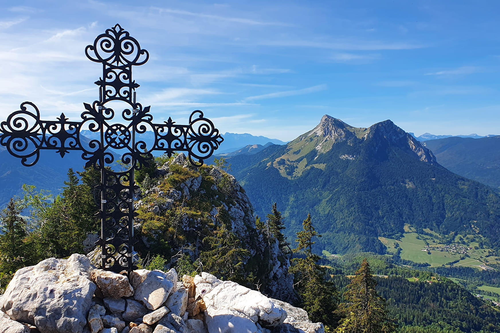
This summit with a modest altitude offers a stunning panorama of the valley. Be careful on the passages in the steep rocks during the last metres of the climb.
Sport Le Mont Julioz Le Châtelard
About

1 3


Reception
Period of practice
From 05/01 to 10/31 : open daily.
Services
- Pets welcome


