GO
Continue on the path that goes up along the torrent of the Neuvache.
Ignore the first footbridge and stay on the right bank.
Cross the second footbridge and continue on the left bank to the Portète.
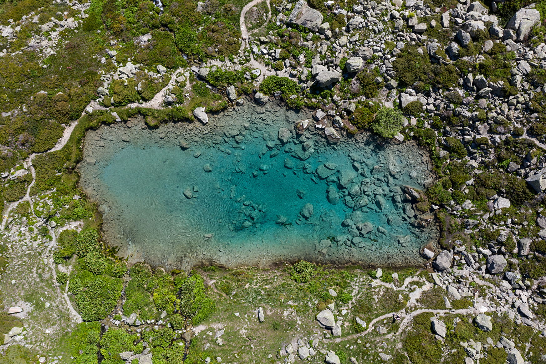
Climb to the right and then right again to Lac Vert (tiny but very pretty).
Continue uphill until you see the sign "La Combe Orcière" where you turn right onto the path which descends a little to reach Cotérieux.
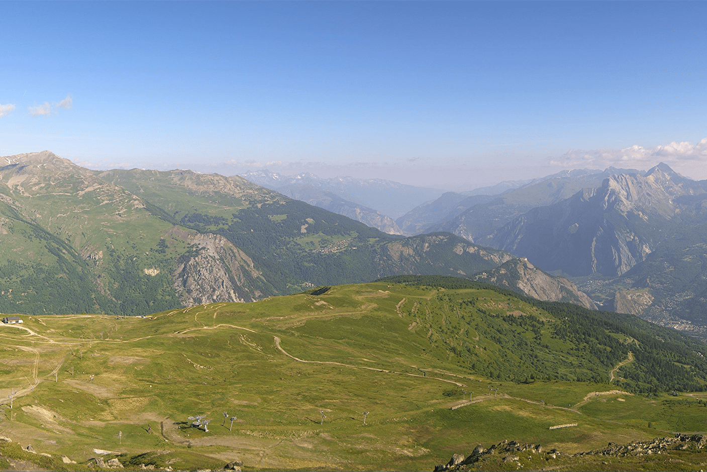
THE GRAND PLATEAU AND THE CREY DU QUART
Follow the track that climbs to the left towards the south and then back to the north to reach the ridge line (2502) separating the two valleys of the Neuvache and the Neuvachette.
The summit of the Grand Plateau (2524m) is quickly reached on the left.
Descend northwards on the ridge line to the Pas de Cotérieux and climb to the Crey du Quart (2534m).
Note: the descent from the Pas de Cotérieux to Cotérieux described below is often off-path. If you are not inspired by it, you can always return to Cotérieux by the same route as on the way down.
Return to the Pas de Cotérieux and take the descent on the left. Go around a vast wetland area on the left. You can intermittently make out the presence of an old path, particularly at the bottom, when crossing an area of green alders where it is very useful. Further down, you can see a ruin. Go around it on the right and finally find the Cotérieux track.
---
RETURN
In Cotérieux, follow the track that goes down on the left (signposted "La Chenalette") then after 600 to 700 metres, a path that goes to the right and that is not indicated on the IGN map.
It joins another path that you follow on the right to find the first footbridge of the itinerary from the outset.
- Sport
Le Grand Plateau et Crey du Quart par la Chenalette et le Lac Vert
The walk to the Lac Vert is very popular with families. It can be extended by a climb to the summits of the Valloire resort.
Sport Le Grand Plateau et Crey du Quart par la Chenalette et le Lac Vert Valmeinier
About
Signs
- Signs at intersections and blue markings on the Lac Vert - Cotérieux section - No markings elsewhere
1 1

Prices
Free of charge.
Reception
Period of practice
From 15/05 to 15/10.
Subject to snow conditions.
Subject to favorable weather.
Contacts
Access
From Valmeinier, go up towards Valmeinier 1800 and after the 5th hairpin turn right.
It continues on a track which ends at the Chenalette car park.