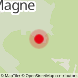
This hiking itinerary has been established, in cooperation with the councils of the “Département” and of Greater Annecy, by a hiker who works for Lake Annecy Tourist Information Office. There is a cross erected on a rock that climbers and experienced hikers can climb up to, for the reward of a breathtaking panorama! The hike starts in the village of La Magne on the heights of Saint-Jorioz. From La Magne, take the road towards La Cochette, follow it to the end and park on La Tête car park.
- Sport
Le Col de la Cochette par la Magne
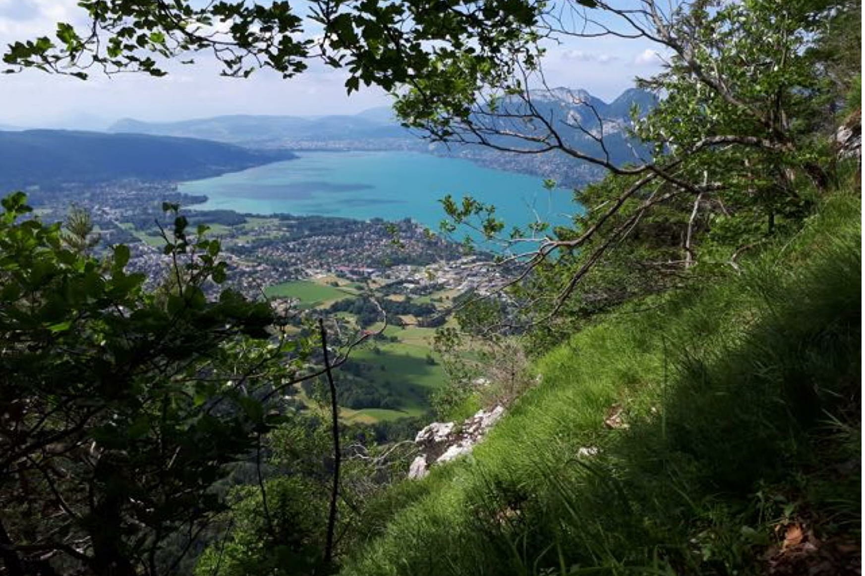
The route includes some vertiginous drops and is not recommended for children, inexperienced hikers or people who suffer from vertigo. This excursion does, however, offer some exceptional views, notably of Saint-Jorioz, Sevrier and Annecy, as well as the small lake and Mount Tournette, on descent of the Entrevernes mountains.
Sport Le Col de la Cochette par la Magne Saint-Eustache
About

Further informations
Stone, Ground, Grit
Prices
Free access.
Reception
Period of practice
All year round.
Subject to favorable snow and weather conditions.
Services
- Pets welcome