Behind the train station, at Plan-Envers, turn right on the path which, flat and then uphill
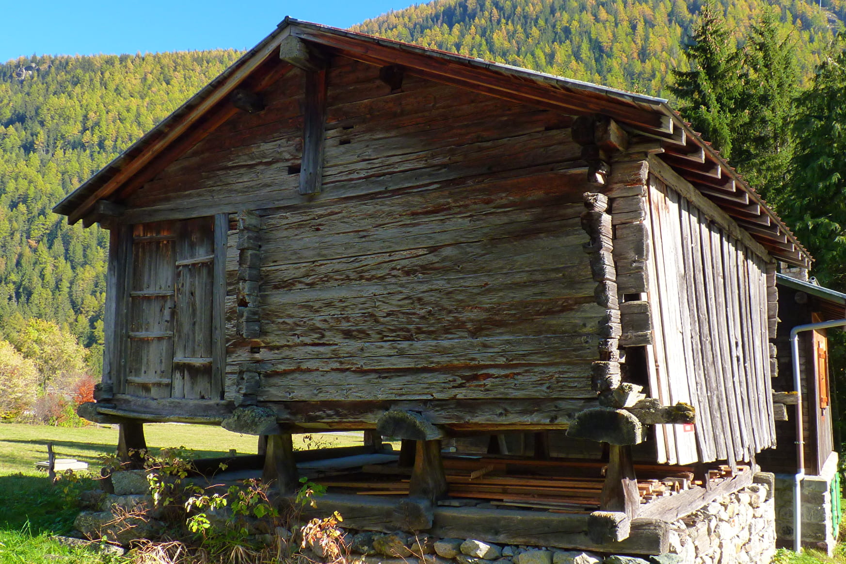
which, flat, then uphill, winds through the meadows along the railroad tracks to the Mayens des Biolles (former inn-stables) and continue the path to the Chapel of N.D. des Montets. Visit the Mayens des Biolles (former inn-stables), the chapel of N.D. des Montets. Go back to the Buet and take the second arch on the left under the track to reach the hamlet of Les Montets. Cross the Eau Noire, reach the departmental road, the hamlet of Nant, then that of Morzay by the small road on the left. Follow it towards the Plan-Droit to arrive at the hamlet of Le Crot which precedes that of Le Sizeray. Reach the church and its characteristic paravalanche. Continue towards the hamlet of Le Mollard, and then reach Barberine (visit of the museum open in July and August).
Return: - by the same route to the Chef-Lieu. - from the hamlet of
from the hamlet of Barberine, going down about 100 m on the RD1506, then going up to the right
in a clearing some steps near the oratory to pass above the tunnel of the
the tunnel of the SNCF track and join the path of the Eau Noire which goes up on the right to Vallorcine.
- by train : the Swiss station is 10 mn away (border - identity papers).
More information is available at the Tourist Office or the Office de Haute-Montagne and in our trail guide.
Attention : The conditions of the trails are likely to change, think of informing you before leaving.
- Sport
Le Chemin des Diligences
Savoie Mont Blanc's choice
The Chemin des Diligences path opened way back in 1792 and links Martigny and Chamonix via the Col des Montets. It takes walkers through the authentic hamlets of Vallorcine which faithfully perpetuate many of their traditions. Documentation available from the Tourist Office.
Sport Le Chemin des Diligences Vallorcine
About

Further informations
Stone, Ground
1 1

Prices
Free access.
Reception
Period of practice
All year round.
Access depending on meteorological conditions. For more information, contact the High Mountain Office of Chamonix: +33 (0)4 50 53 22 08. Website : (http://www.chamoniarde.com/).
Subject to favorable snow and weather conditions.
Services
- Pets welcome
Contacts
Access
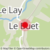
Closest train stop : Le Buet train stop
Closest parking : Le Buet car-park
