Start in LA GIETTAZ, near the Tourist Office. Walk towards LA VIERGE DES ALPAGES via the Abbaye, La Chapelle des Nants, Pont Noir, Les Puginières, Pétaz. Au Bois du Fouestarle, then continue on the stony track through La Croix de Ptiouta, Le Mégevan, Route de Plan Bourgeois and Plan Bourgeois.
From there, climb up to LA VIERGE DES ALPAGES on the footpath. At the top, be careful and don’t get too close to the cliff edge.
Return to LA GIETTAZ by the same route.
INTERESTING FACT :
In the past, alpine pastures were much valued by the village communities. The villages of La Giettaz and Cordon were in dispute over land for a long period, with the legal case over boundaries marking the pastureland of both villages lasting more than 300 years, from the 15th century through to the 18th.
- Sport
La Vierge des Alpages
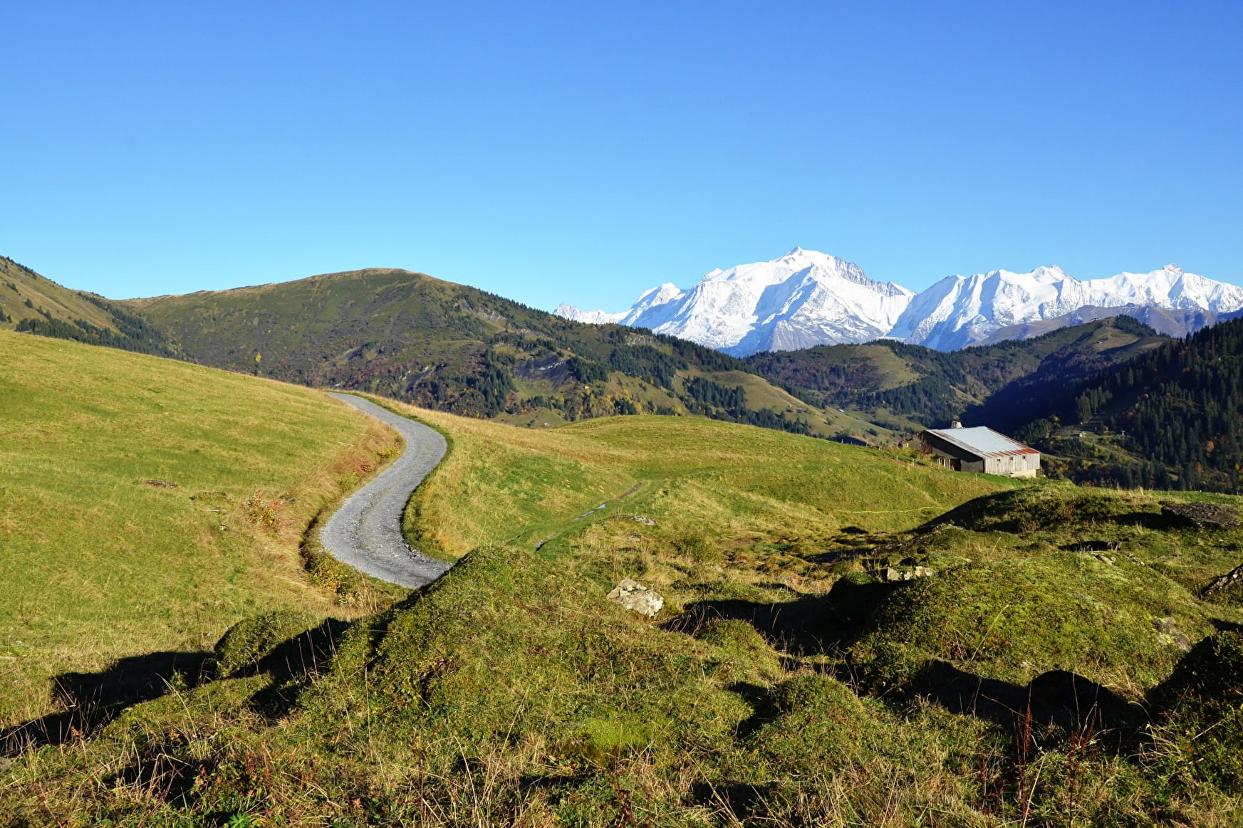
Beautiful hike from the village to reach the pastures at the foot of the Aravis mountains, with spectacular views.
Sport La Vierge des Alpages La Giettaz
About

Signs
Marked with yellow signs.
Prices
Map of walking routes on sale at the Tourist Office at € 9.
Methods of payment accepted : Cash
Reception
Period of practice
From 01/06 to 01/10.
Services
- Pets welcome