Starting point: Champagny le Bas - Pont des Chailles (at the Champagny exit, heading to Pralognan)
Arrival: idem
Duration: 3:30 hrs (2:30 hrs walking uphill)
- Sport
La Tour du Merle
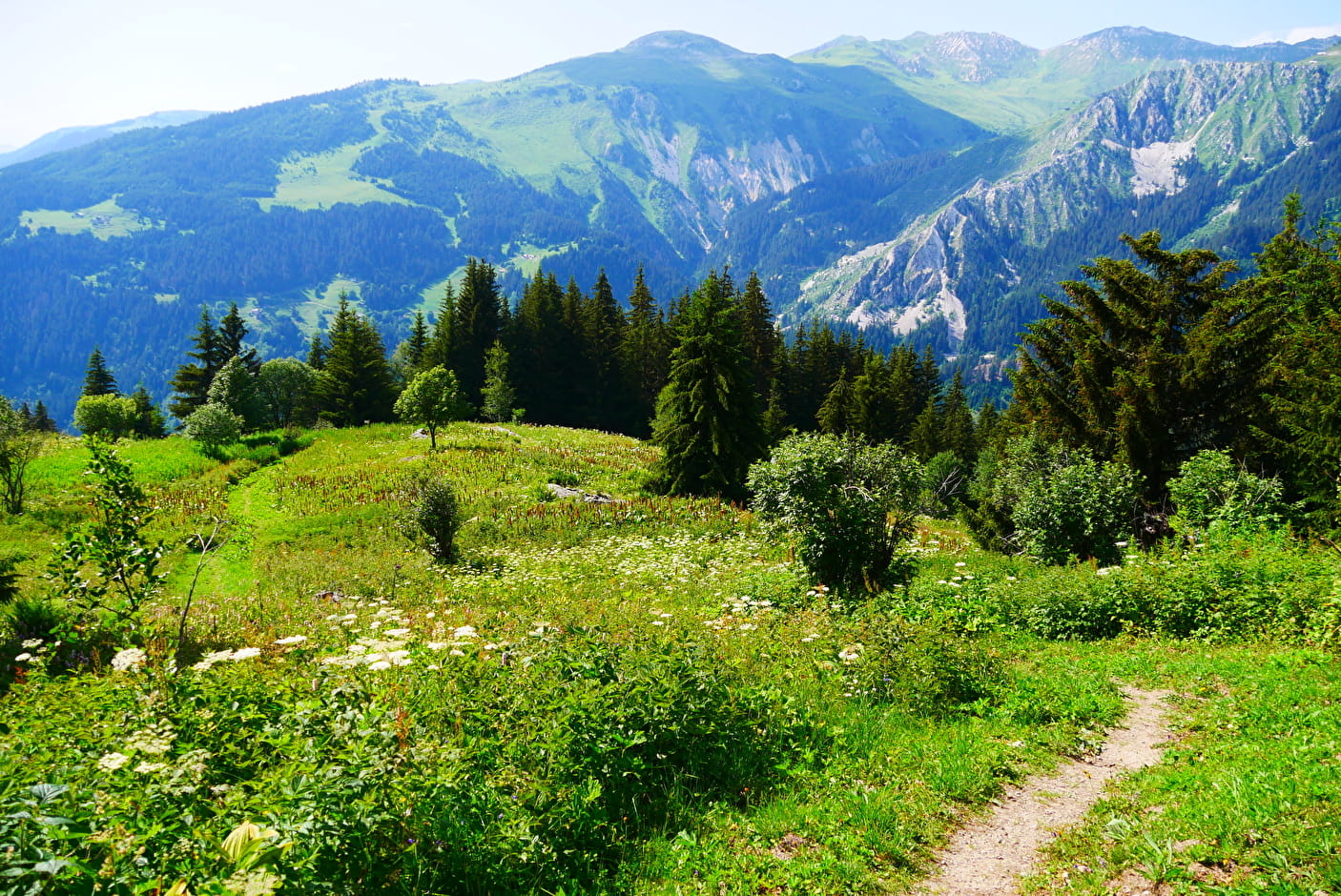
Set off on this beautiful trail that takes you on the north slope at 1940 m into the woods.
Sport La Tour du Merle Champagny-en-Vanoise
About

Topoguides references
Sheet n°1 from the guide book.
Further informations
Stone, Ground
1 8


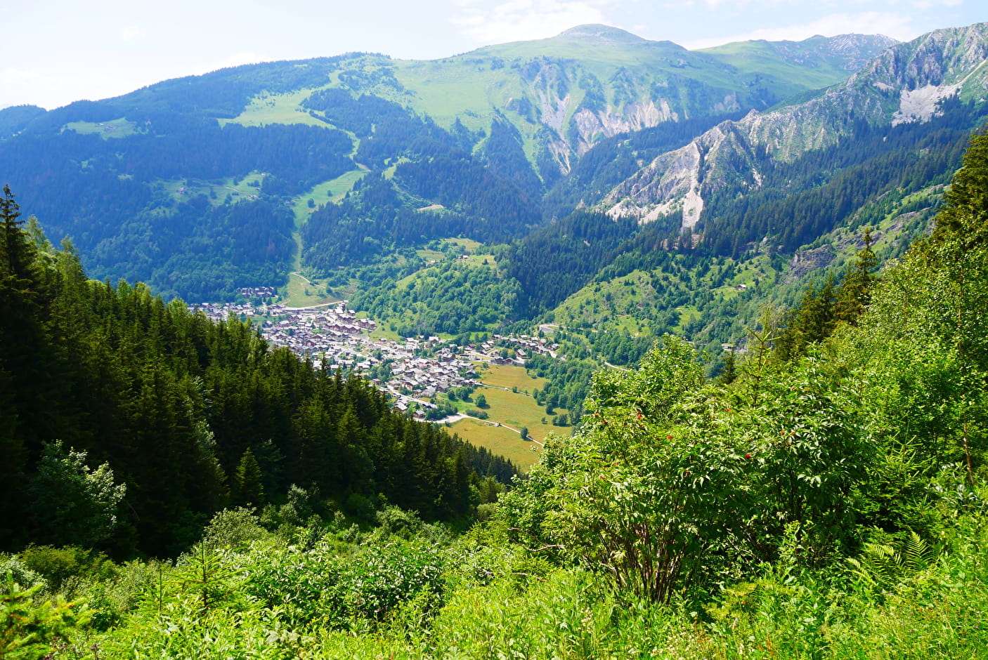
0/ From the Chailles bridge spanning the Doron (stream), take the track that winds its way up through the forest.
1/ After the 3rd bend, take a path on the left (sign). It crosses a brook and then joins another path above (coming from Champagny le Haut - sign "Combe de Verdon"): turn right; after a 150m-ascent, you arrive in the meadows of the Enclos du Seil.
2/ Keep going to the left, at the junction. The path rises a little.
3/ At the next junction, turn right and go up for 100 meters to reach a small "pass" near the top of the Merle tower!
Caution, the ascent of the tower is dangerous (crumbly rock).
Prices
Free access.
Reception
Period of practice
From 01/05 to 01/11.
Subject to favorable snow and weather conditions.
Services
- Pets welcome
- Car park
- Free car park
Contacts
Access
- Not accessible in a wheelchair