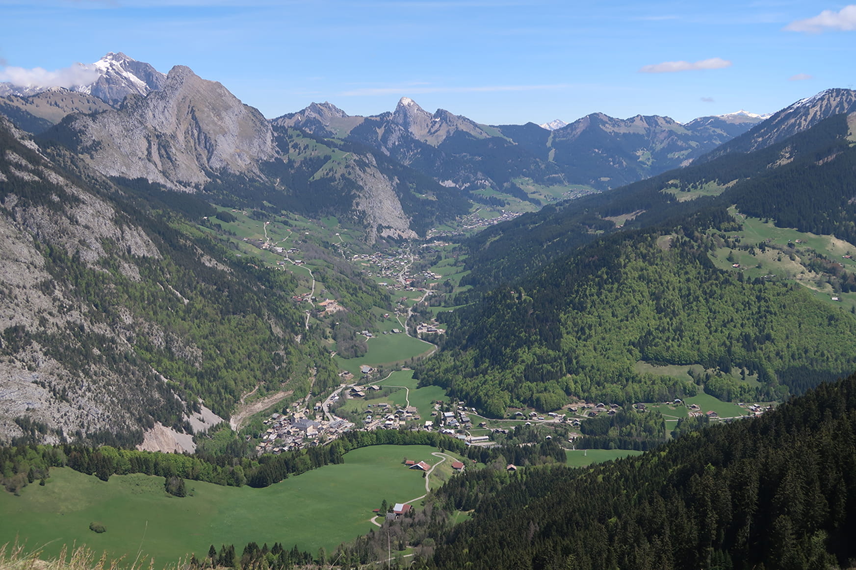
This sportive hike starts in the centre of the village of Abondance. You will take the direction of the Essert cable car then you will discover the hamlet of Fremoux, its traditional houses and its mountain pastures.
You will be able to admire the whole valley of Abondance from the top of Fremoux.
You will then reach the Col de l'Ecuelle through a pretty forest of fir trees and along the alpine chalets.
At the top of the Follys, the highest point of this hike, you will be able to appreciate the landscape: the Mont de Grange, the Dents du Midi, the peaks of the Chablais and the lake of Geneva. Picnic tables invite you to enjoy the panoramic landscape.
You can also enjoy the view of the Mont de Grange and the village of Abondance as you descend to the chalets de l'Essert.
Finally, you will head back to Fremoux Dessous to rejoin the trail back to the village centre.
- Sport
La Pointe des Follys
A tour to discover the Abondance cheese and the goat cheese. From the Pointe des Folly, the landscape of the Valley of Abondance is very nice!
About

Signs
Departmental markings called P.D.I.P.R. on beige metal panel with green lettering
Map references
Portes du Soleil hiking map in France and Switzerland TOP 25 N°3528 ET Morzine Massif du Chablais Les Portes du Soleil
Topoguides references
On sale at tourist offices in the Vallée d'Abondance.
Further informations
Stone, Ground, Hard coating (tar, cement, flooring)


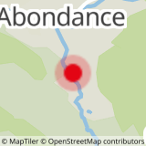
0/ Centre of the village of Abondance
1/ Follow the signs for the "Télécabine de l'Essert". At the Essert car park, just before the bridge on the right, take the marked path below the cable car. Follow the direction "Frogy" and cross the wooden footbridge, then follow the tarmac road on the right which takes you to "Frémoux Dessous".
2/ After the last farm, the tarmac road stops. Continue on the trail for about 100 m and turn right towards the "Chalets de l'Essert". You will arrive at the "Frémoux Dessus" mountain pasture.
3/ After the last chalet, take the direction of "Col de l'Ecuelle" and then the forest road towards "Vergay". Above the chalets of Vergay, take the small path on the left on the slope towards "Col de l'Ecuelle".
4/ When you arrive at the Ecuelle, follow the direction of the chalet and follow the path that goes up to the "Col de l'Ecuelle".
5/ Continue on the steep track to the top of the ski lift at the "Pointe des Follys". Gently go down to the TV relay antenna.
6/ Take the direction "Chalets de l'Essert".
7/ Turn left on the main path which goes down through the forest to « Frémoux Dessus ». From there, you find the route up to the town center.
Prices
Free access.
Reception
Pets allowed on a lead only.
Period of practice
From 01/06 to 01/11.
Accessible outside the snow season and subject to weather conditions. Please check with the Tourist Office beforehand for current access conditions. Recommended season: spring - summer - autumn.
- Pets welcome
- Picnic area
- Car park
- Parking nearby
- Free car park
Contacts
Access
Centre of the village of Abondance, free parking on site.


