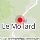
From the Col du Mollard, join this forest trail.
This easy, gentle route offers views of the Aiguilles d'Arves, the Montrond plateau, Mont Emy and Grande Chible.
If you wish to continue walking for a further 1 km, you'll come to the Praz oratory, where there's a magnificent unobstructed view of the surrounding area. The foundation stone of this beautiful oratory is dedicated to the memory of Father Louis Bellet, parish priest of Albiez-Montrond for some forty years.
- Sport
La Plaigne trail
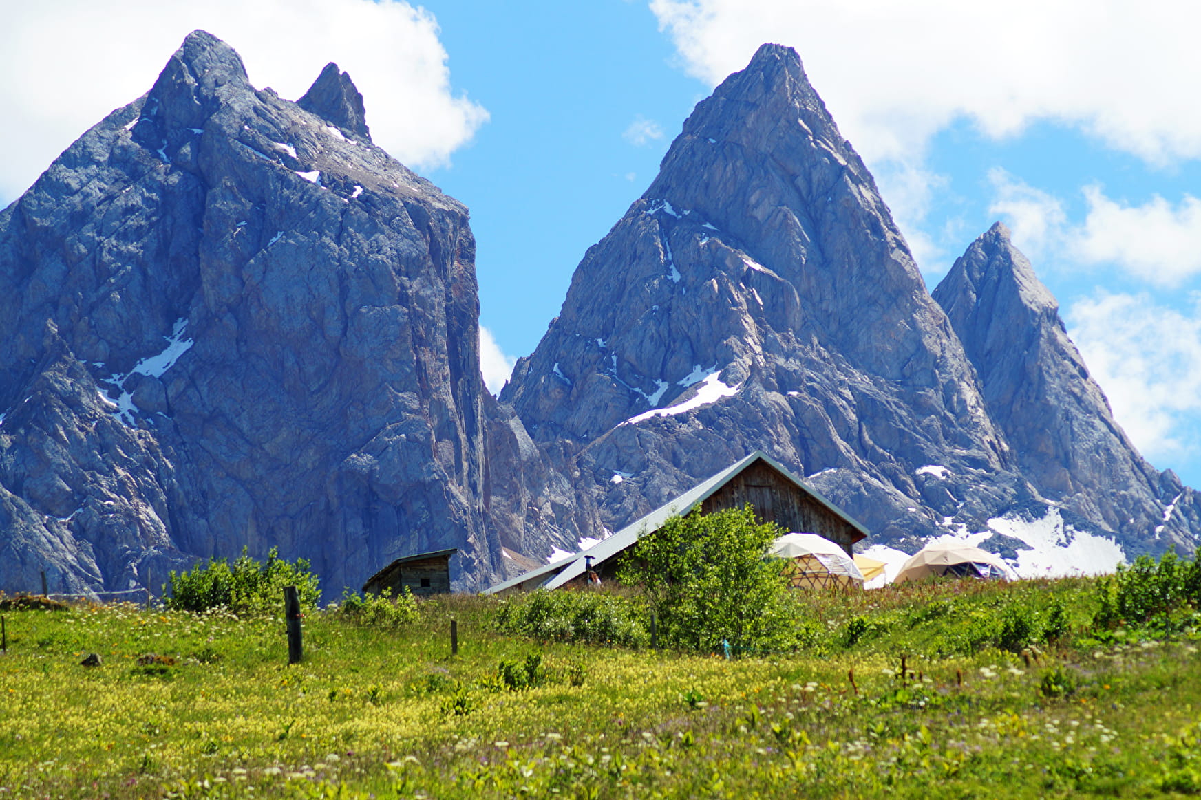
Get a bit of height with a walk facing the Aiguilles d'Arves on the way up, and the village on the way back.
This forest trail through the Mont Emy coombs is very pleasant and accessible to all.
Sport La Plaigne trail Albiez-Montrond
About

Further informations
Grit
1 3


0/ Start from Col du Mollard.
1/ Continue on the RD80 towards Le Mollard for 100 m.
2/ Turn slightly left onto Rue du Ravarin.
3/ At the Pierre aux Fées vacation resort, turn left onto Route de la Praz, also known as sentier de la Plaigne (road then forest track).
5/ At the La Plaigne crossroads, return by the same route.
Prices
Free access.
Reception
Period of practice
From 26/03 to 20/11.
Services
- Pets welcome
- Car park
- Free car park
Contacts
Access
- Not accessible in a wheelchair


