- Sport
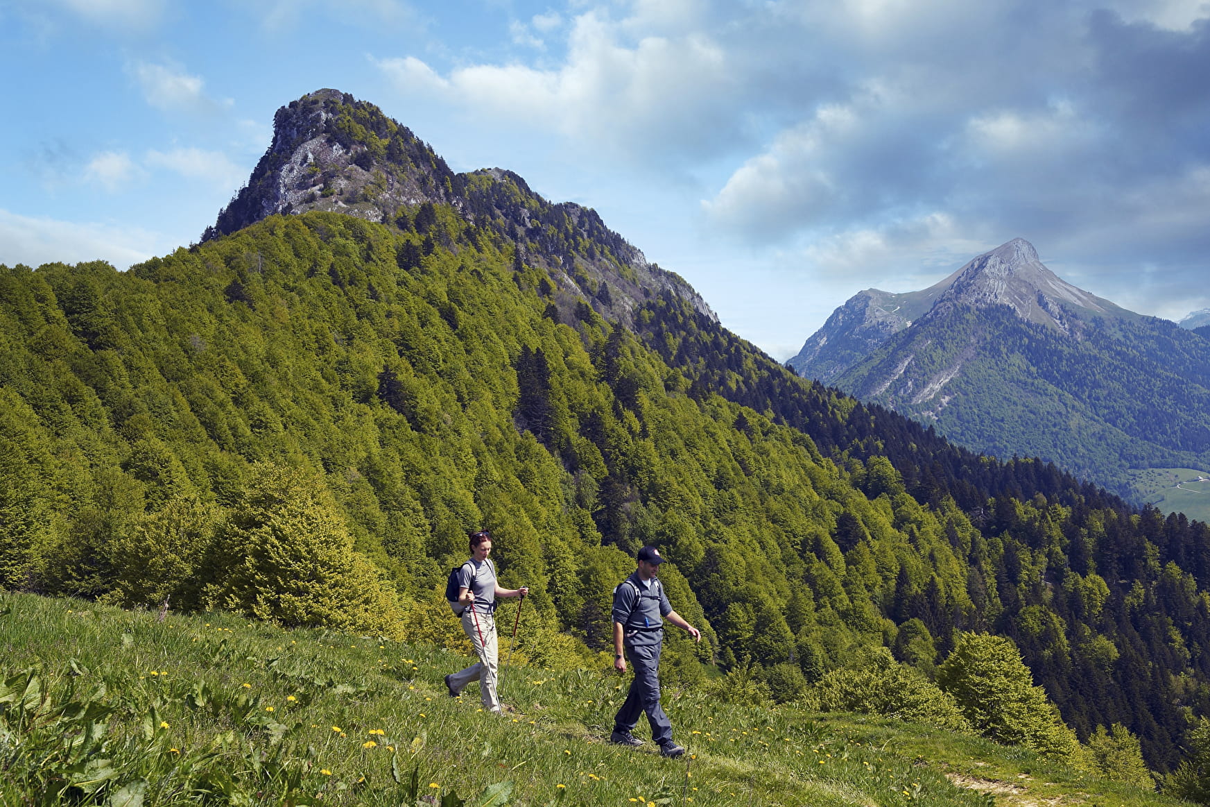
La Galoppaz en boucle par la combe Servenne
Savoie Mont Blanc's choice
Sport La Galoppaz en boucle par la combe Servenne Thoiry
About

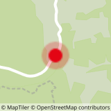
Map references
Walks and hikes, Chambéry urban area. IGN Top 25 - 3432OT.
Further informations
Stone, Ground
1 2


Prices
Free access.
Reception
Period of practice
From 01/06 to 01/10.
Subject to favorable weather.

