- Sport
La Chenarie – Les Vernettes – forêt de Carroz blanc
Route from the resort (1650m) to the Nordic area (1500m).

About

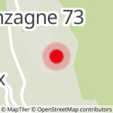
Map references
TOP 25 IGN 3532 Les Arcs/La Plagne/Parc national de la Vanoise
Further informations
Stone, Ground, Hard coating (tar, cement, flooring)


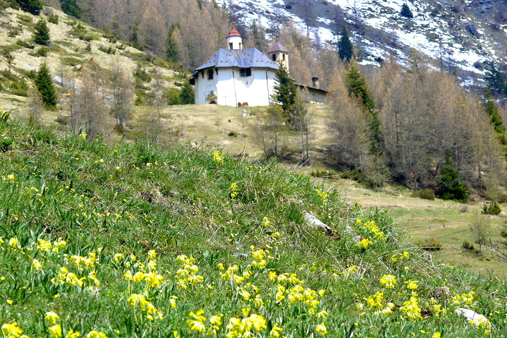
From La Chenarie (1500 m ) (near the chapel, cross the bridge) or from Nancroix (Chemin des Vernettes)
The ascent is made by the old pilgrimage path, a beautiful mule track. It passes through the hamlet of Pracompuet (1,600 m) (St Jacques chapel) which you cross to take the direction of "la Fontaine" and then les Vernettes (1,820 m). At the chapel oratory of the spring, take the path towards the Rossets mountain pasture, cross the torrent (aerial and delicate passage) and the avalanche corridor that follows. Then immediately turn right onto the path leading down into the forest to La Chenarie.
You can also do this loop from the resort: head towards Les Vernettes, go down to La Chenarie through the Carroz Blanc forest and join the resort via Pracompuet (pastoral track).
Difficulty: medium. A stream crossing that can be tricky: do not try it in case of storm
Prices
Free access.
Reception
Period of practice
All year round.
Remember to contact your Tourist Office reception to learn about the feasibility of paths.
- Pets welcome
Contacts
Access
Go near the chapel of La Chenarie,
- Not accessible in a wheelchair

