- Leisure
La Bordaz (Agy) - Hike
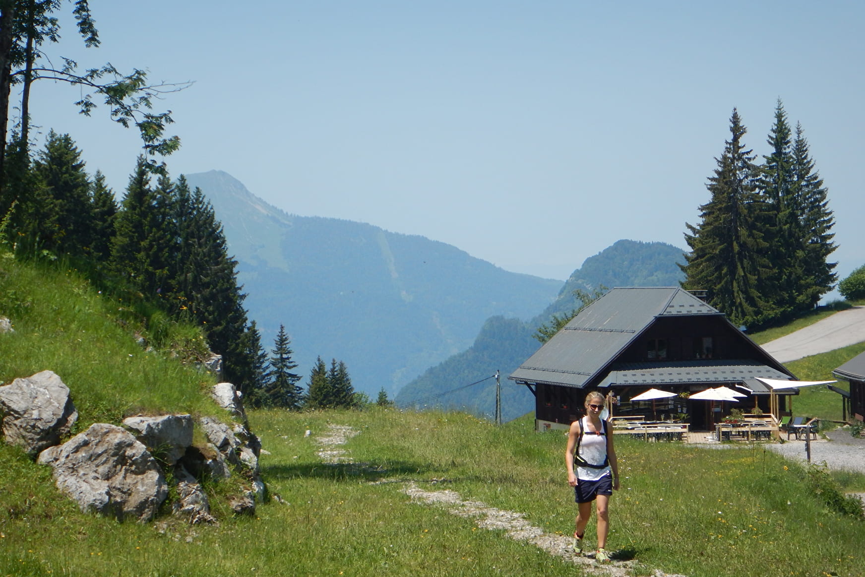
Short walk ideal wth children to discover a beautiful overview of the Arve Valley and the Môle.
About

Signs
Trail marked with directional posts (PDIPR)
Map references
TOP 25 IGN 3530 ET, Samoëns Haut-Giffre
Further informations
Groomed trail


Short loop, around the hill that can be seen on the right from the parking lot. From the Nordic center, take the wide path towards Haut des Flatières. Then take the path on your right and go up to the picnic table at the top of the mound. For the return, continue on the path that descends and fork to the right twice to return to the starting point.
Prices
Free access.
Reception
Keep your dog on a leash, he can scare off herds and wild animals.
Period of practice
From 01/04 to 15/11.
- Pets welcome
- Restaurant
- Picnic area
- Public WC
Contacts
Access
From Cluses, take the direction of Châtillon-sur-Cluses. At the pass roundabout, turn right and follow the road to Saint-Sigismond. Continue the road in the direction of the plateau of Agy and park in the large parking lot of the restaurant La Tanière. Parking is free.

