


You'll love the start, through quaint little villages on the left and right banks fo the Arc river. The village of Amodon marks the end of your warm-up. Walking through silver firs and mountain pines, you'll reach a secluded clearing, the ideal place to take a break and cool off. Don't miss out on visiting the former Aiguille Doran refuge, a top attraction in Vanoise National Park. Can you hear the distant whistles of the marmots echoing around the cliffs of Aiguille Doran and Râteau d'Aussois? Rising to over 3,000 m of altitude, these two summits seem to watch over you. Stop off for a meal at Orgère refuge to to get even more into the mountain spirit. Who knows, maybe it'll also unleash your desire to spend a night in the refuge or bivouacking? In the height of summer, you'll be thankful for the shade that accompanies you on your way down from Pont des Chèvres. When you return, walk through the alleys of Villarodin and Le Bourget to hunt out some heritage secrets.
- Sport
Immersion in Vallon de l'Orgère
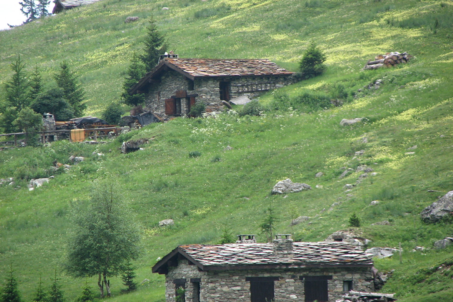
Enter a valley perched at the gates of Vanoise National Park. Leave civilisation behind and head off into the countryside. As you from forest to tranquil glade and back again, you'll feel like time loses its meaning.
Sport Immersion in Vallon de l'Orgère Villarodin-Bourget
About
Signs
Departmental signposting (PR)
Map references
Map and booklet "Walks and Hikes Haute Maurienne Vanoise" (sold for € 10 at the Tourist Office)
Topoguides references
Red route n°79
Further informations
Ground
To guide you in the field, consult the "step-by-step" directional diagram provided in pdf.
Prices
Free of charge
Reception
Period of practice
From 01/07 to 15/10.
Subject to favorable snow and weather conditions.
Equipments
- Parking nearby
Contacts
Access
By bus: Line S52 - Rocher des amoureux stop or Line 2 - Mairie stop.
By car: park in the parking lot next to Le Bourget town hall.