

Parking : Pierre Giret. From the parking Pierre Giret, follow the asphalt road for 100m, and after the Savonne bridge, take the path that rises to the left along the torrent. After about 15 minutes, turn right onto the Sassière path. Join the pastoral road of la Sassière and follow it to the plateau. Go forward on the plateau for several hundred meters. The Refuge is well in sight on the plateau. After the refuge, 300 m further on, cross the stream on a small footbridge, continue on the left bank of the stream, until you reach a chaos of huge rocks. Then cross the stream again on a natural bridge and continue to the Lac du Petit. Same route for the return.
- Sport
Hinking trail : the Lac du Petit
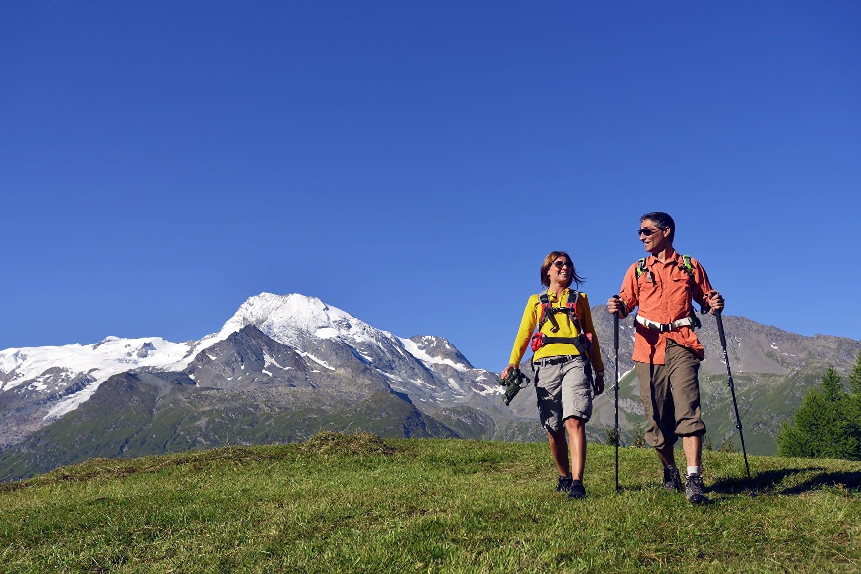
Magnificent hike lost in a cirque, along a stream with rhododendrons in spring or summer. Very beautiful panorama on the Mont Pourri and the glaciers.
Map available in paper and digital version at the Tourist Office of the resort.
Sport Hinking trail : the Lac du Petit Sainte-Foy-Tarentaise
About

Signs
Yellow markings
Further informations
Rock, Ground
1 1

Prices
Free access.
Reception
Dogs must be kept on a leash due to the presence of herds.
Period of practice
From 01/04 to 30/11.
Subject to favorable snow and weather conditions.
Services
- Pets welcome
