
From the P4 car park, go up to the Bonconseil chapel. You can reach the chapel from the P2 car park by crossing the resort and its snow front. Take the uphill road behind the chapel and follow "Planay Dessus". Enter the hamlet and after a few houses, take the path on the right that leads away from the village. Arrive near some chalets, turn right at the fork in the road. Admire the Sainte Foy drains, a human construction designed to limit the infiltration of water into the soil and protect against landslides, which used to be a regular occurrence. After the flat path, cross the small bridge. In front of you, the slight climb allows you to join the path going down to the right which brings you back to the path you took on the way to the summit. Return on the same route to the chapel.
- Sport
Hiking trail: the Drains
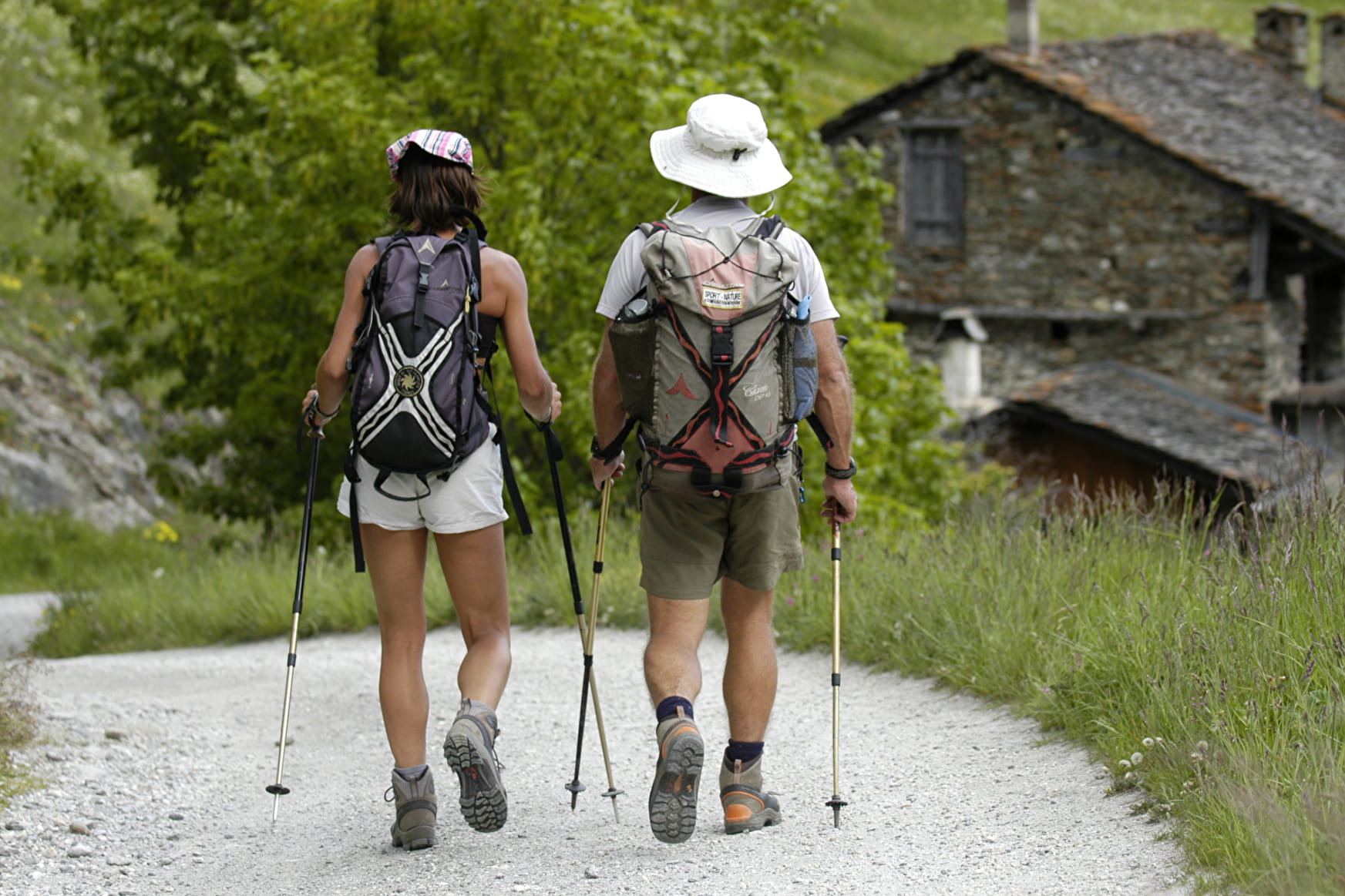
An easy walk, accessible to all, to discover the small hamlet of Planay Dessus and then you can admire the Sainte Foy drains.
Map available at the Tourist Office.
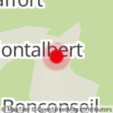
Sport Hiking trail: the Drains Sainte-Foy-Tarentaise
About

Signs
Yellow markings
Prices
Free access.
Reception
Dogs must be kept on a lead due to the presence of herds.
Period of practice
From 01/05 to 30/11.
Subject to snow conditions.
Services
- Pets welcome