
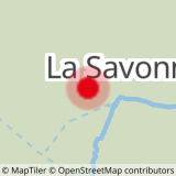
De weg naar La Sassière volgen en het gehucht La Savonne oversteken. 200 m verder een pad naar rechts nemen (wegwijzer "La Motte"), de bergstroom oversteken, het pad vervolgen, het bos oversteken en Les Côtes bereiken. Ga rechtdoor: de schuilplaats van Archeboc is duidelijk in zicht nadat het pad een lichte bocht naar links maakt. Ga voorbij de refuge over een pad dat naar links draait, links van de bergstroom. Volg het pad tot aan de waterinlaat (loopbrug en betonnen blok). Sla rechtsaf, neem het vlakke pad tot u de elektriciteitscentrale ziet. Sla linksaf om een loopbrug te vinden om de bergstroom over te steken. Ga terug naar de parkeerplaats bij de weg.
- Sport
Hiking trail: the Archeboc Refuge
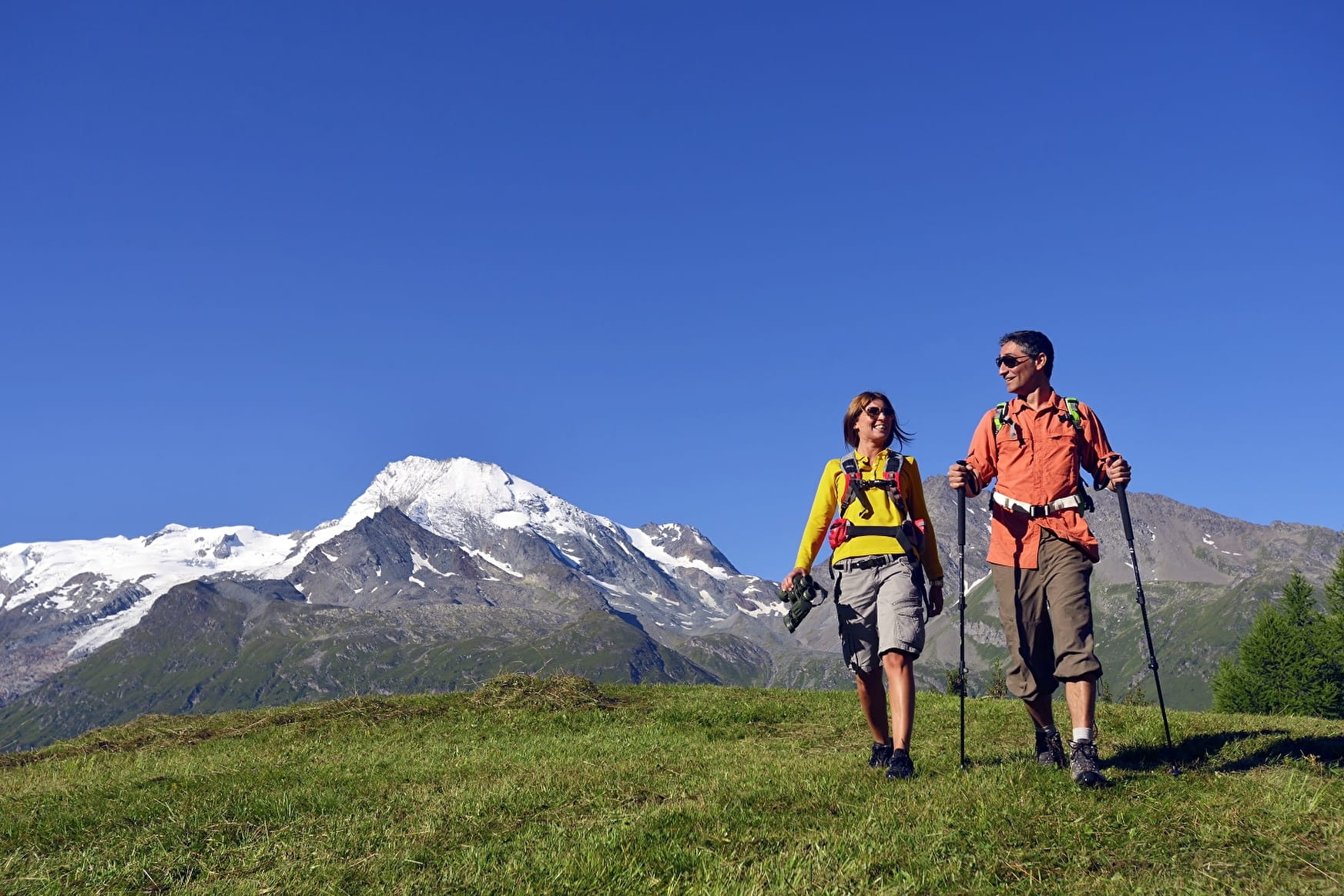
Walk along part of the Mercuel valley in the forest to reach the Refuge de l'Archeboc.
Map available in digital and/or paper version at the Tourist Office of the resort.
Sport Hiking trail: the Archeboc Refuge Sainte-Foy-Tarentaise
About

Signs
Yellow markings
Difficult passages
On the path to the right 200m after the hamlet of La Savonne, cross a torrent, which is sometimes tricky in the absence of a footbridge. Don't hesitate to go up the torrent to find a ford (10 or 20m higher)
Further informations
Ground
Prices
Free access.
Reception
Dogs must be kept on a leash due to the presence of herds.
Period of practice
From 01/04 to 30/11.
Subject to favorable snow and weather conditions.
Services
- Pets welcome
- Car park