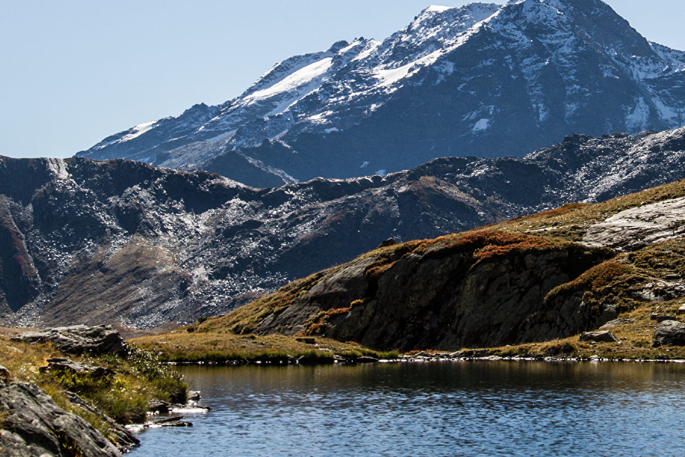
From the Pierre Giret parking lot, follow/climb the tarred road for 100m, and after the Savonne bridge, take the path that rises to the left along the torrent. After about 15 minutes, turn right onto the Sassière path. Join the pastoral road of la Sassière and follow it to the plateau. Go forward on the plateau for several hundred meters. The Refuge is well in sight on the plateau. After the refuge, 300 m further on, cross the stream on a small footbridge, continue on the left bank of the stream, until you reach a chaos of huge rocks. Then cross the stream again on a natural bridge and follow an almost flat track on your left, sometimes not very visible. Cross several small streams. Finally a small corridor leads to the Longet lake. Leave it on the left and take a couloir for 20 minutes which leads to the Verdet lake. Same route for the return.
- Sport
Hiking trail: Longet and Verdet lakes
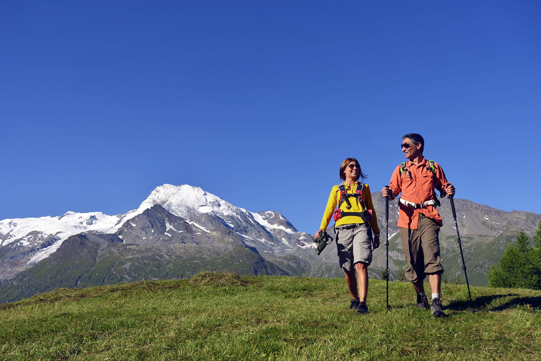
Magnificent route to observe the marmots and finish with a grandiose view of the Aiguille du Charvet. This itinerary is aimed at experienced hikers.
Map available in digital and paper version at the Tourist Office of the resort.
Sport Hiking trail: Longet and Verdet lakes Sainte-Foy-Tarentaise
About

Signs
Yellow markings
Further informations
Stone, Ground
1 1

Reception
Dogs must be kept on a leash due to the presence of herds.
Period of practice
Might be accessible only between June and November.
Subject to favourable snow and weather conditions.
Services
- Pets welcome