From the Pierre Giret car park, follow the tarmac road for 100 m, and after the Savonne bridge take the path that rises to the left along the torrent. After about 15 minutes, turn right onto the La Sassière path towards the Refuge du Ruitor and continue straight ahead. Cross the torrent by the bridge and follow the path. Go up more steeply at the bottom of the plateau, until you reach a torrent. You can either cross the stream and go up along small streams on a path that is sometimes not very visible, or you can skip the stream and take a steep and not very visible path to the left through a field of rhododendrons. When the two routes meet, you have the Col du Retour in front of you. Cross it and go down slightly to the Lac du Retour which is just behind. Same route for the return.
- Sport
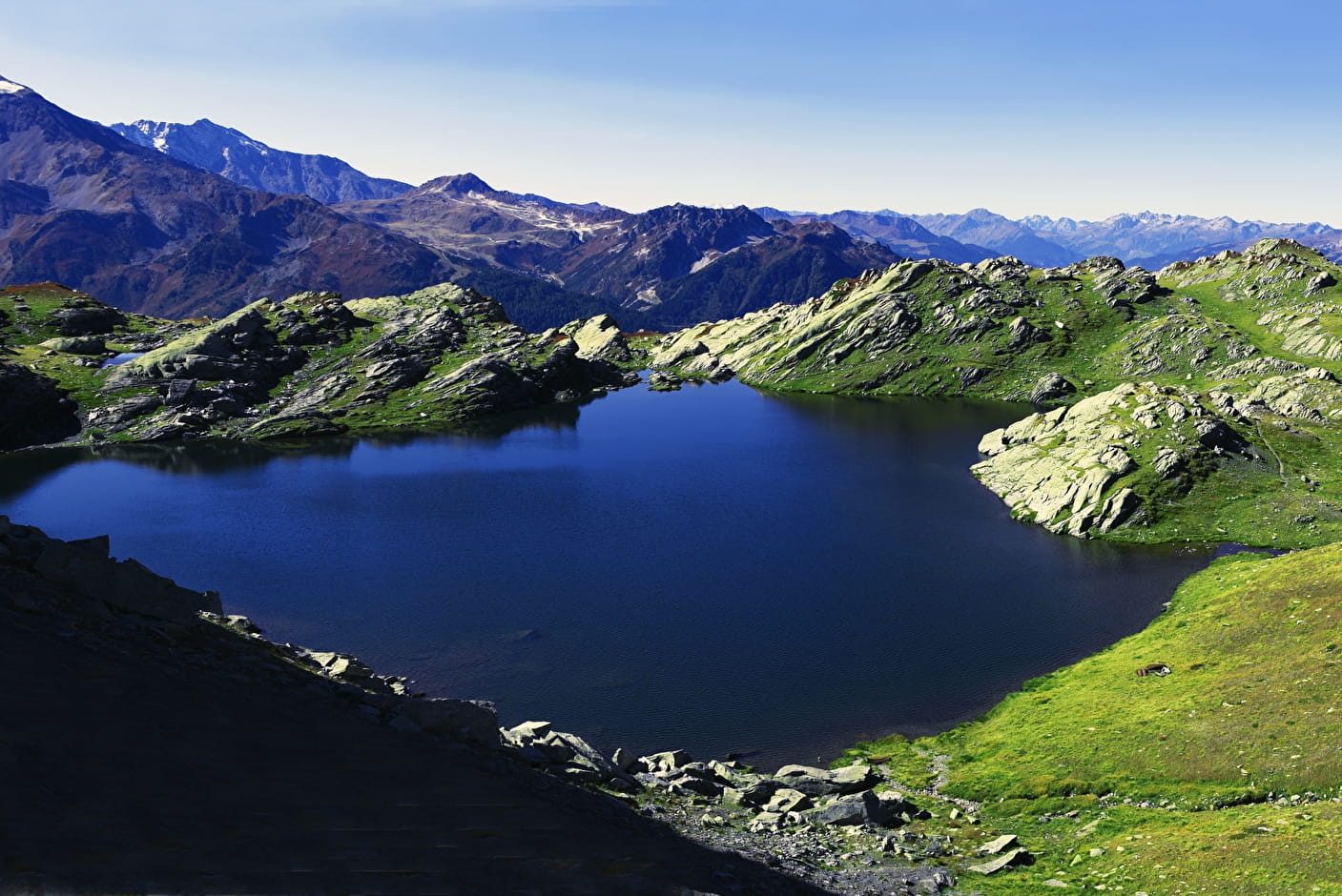
Hiking trail : Lac du Retour
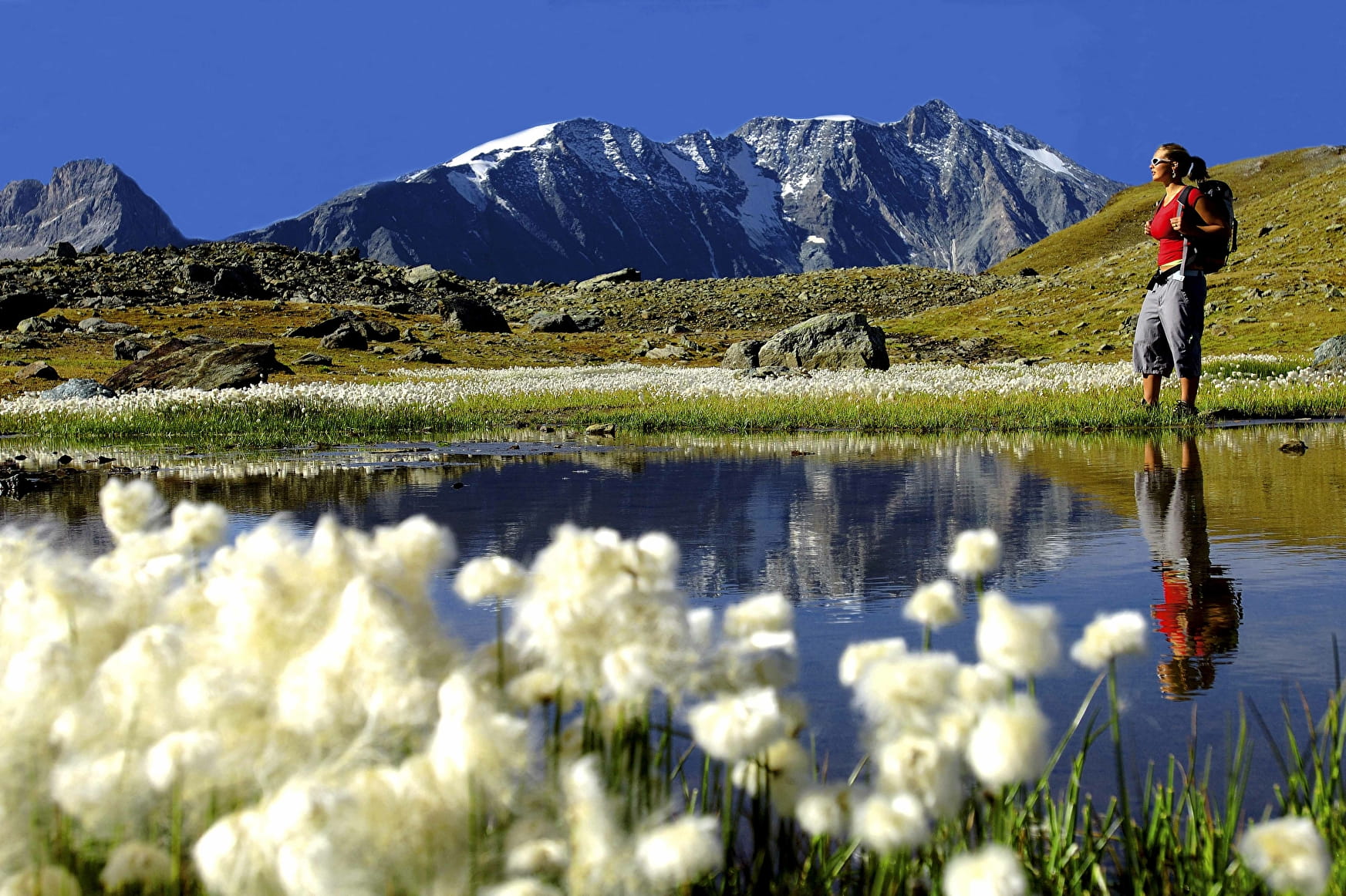
The Lac du Retour was formed in a basin dug by the glaciers at an altitude of 2400m. You may be able to see the cotton grass, a cottony flower.
Map available in digital and paper version at the Tourist Office of the resort.
Sport Hiking trail : Lac du Retour Sainte-Foy-Tarentaise
About

Signs
Yellow marking
Further informations
Stone
1 2


Prices
Free access.
Reception
Dogs must be kept on a lead due to the presence of herds.
Period of practice
From 01/04 to 30/11.
Subject to favorable snow and weather conditions.
Services
- Pets welcome