
From the Mazure car park, go down the main road towards the main town (watch out for cars), until you see the Mazure sign. After the sign, turn right onto the path that leads down into the forest. Arrive at the chapel of St Roch, continue on the path on the left into the forest, until you reach the tarmac road. Return by the same route.
- Sport
Hiking trail: La Mazure - Chef-Lieu link
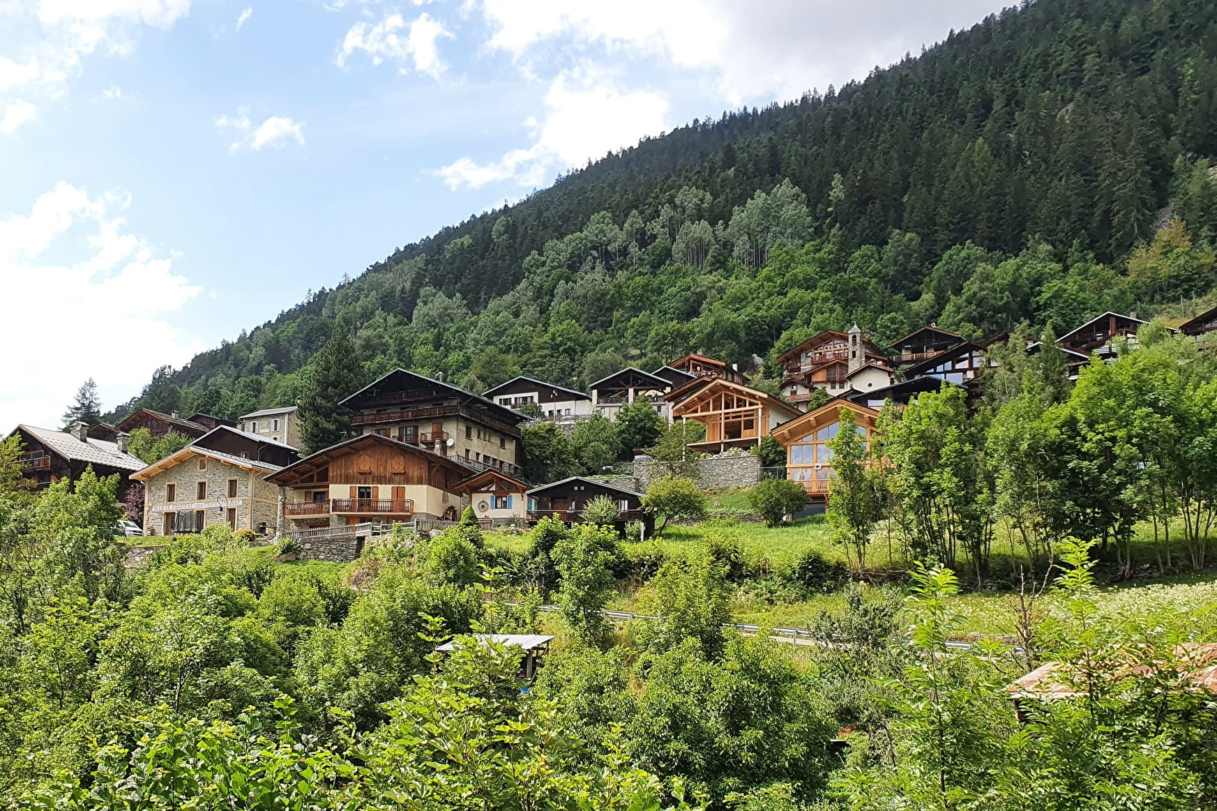
Link the pretty hamlets of La Mazure and Le Miroir from the Chef-Lieu of Sainte Foy or vice versa. A great family walk.
Map available in digital and paper version at the Tourist Office of the resort.
Sport Hiking trail: La Mazure - Chef-Lieu link Sainte-Foy-Tarentaise
About

Signs
Yellow markings
Prices
Free access.
Reception
Period of practice
From 01/05 to 30/11.
Subject to favorable snow and weather conditions.
Services
- Pets welcome
- Car park
- Free car park