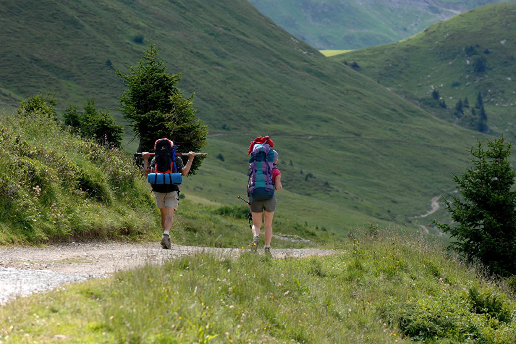
From the Pré-la-Joux car park, take the path leading up towards Betzalin.
After 200m, leave the forest track on your left to take the fairly steep path alongside the stream.
After rejoining the track, cross the stream to reach the Betzalin mountain pasture. At the chalet, take the path straight ahead to Sur-le-Crac, above the Essert waterfall.
After crossing the stream, turn left onto the carriage road.
At the fork in the road, turn left onto the GR5 in the direction of Etrye. You'll stay on this track all the way to Lenlevay, where you'll enjoy a breathtaking view of Mont Blanc.
Descend into the small valley on your left to join the Covagnes and continue on the same path entering the forest and leading back to Betzalin. For the descent, take the path back up.
- Sport
Hiking trail "La boucle de Betzalin"
Much of the route is in the he Mont-de-Grange reserve, established in 1984.
By being discreet and with a little patience, you may be able to observe chamois, mountain sheep and marmots .
Difficulty level : medium .
About

Signs
Departmental signposting on a beige metal plate with green lettering.
Map references
TOP 25 IGN 3528 ET
Further informations
Stone
Prices
Free access.
Reception
Whichever walk you choose, we recommend that you :
- Wear appropriate footwear and always take with you: warm clothing, preferably waterproof, plenty of water, sunglasses, sun cream and a small first-aid kit.
- Do not set off alone.
- Inform someone living in the valley of your plans.
- Do not change the planned itinerary indiscriminately. But do not hesitate to shorten it if necessary.
- Carry a map and even a torch.
- Check the weather forecast before setting off.
- In the event of a thunderstorm, move away from ridges, passes and summits as soon as possible and never take shelter under an isolated tree.
Dogs must be kept on a lead due to the presence of herds.
Period of practice
From 01/06 to 31/10.
- Pets welcome
- Car park
- Free car park
Contacts
Access
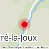
Car park at Pré la Joux or for those without a car: Bus line 1, stop at Pré la Joux (in July & August only).
- Not accessible in a wheelchair