
Follow the road to La Sassière and cross the hamlet of La Savonne. 200m later, take a path to the right (signposted "La Motte"), cross the torrent, continue along the path, cross the forest and arrive at Les Côtes.
Continue straight ahead: the Refuge de l'Archeboc is clearly in sight after the path makes a slight turn to the left.
From the Refuge de l'Archeboc, the path to the pass starts out steeply on the moraine (stacked boulders, pebbles). Then it becomes gentler and winds through the mountain pastures to the pass. Same route for the return.
- Sport
Hiking trail: col du Mont
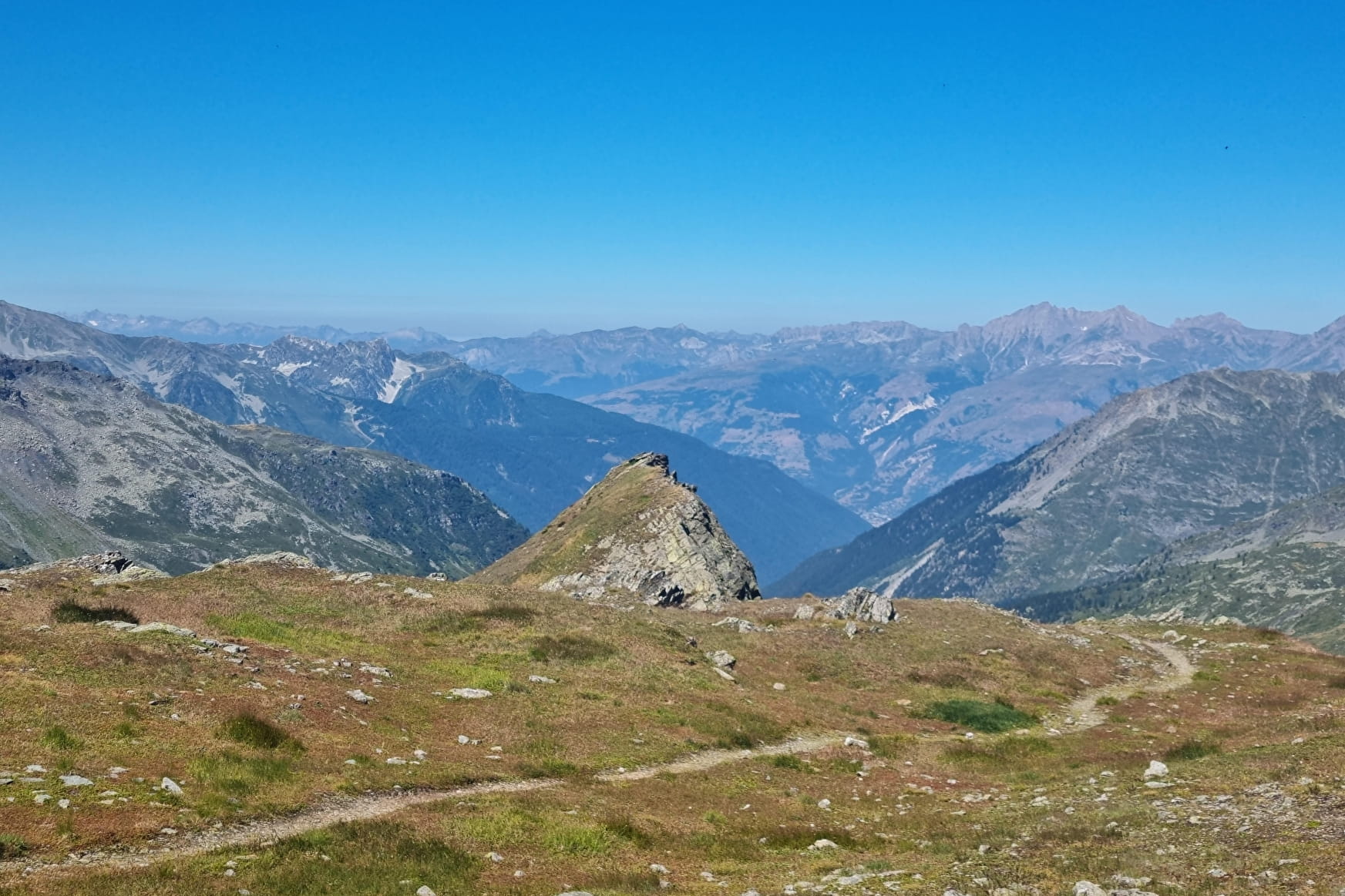
Discover the Mercuel valley and get some height to admire the French but also Italian panoramas! Indeed, the Col du Mont is the natural border between our two countries.
Map available at the Tourist Information Point
Sport Hiking trail: col du Mont Sainte-Foy-Tarentaise
About

Map references
IGN 3532ET
Prices
Free access.
Reception
Dogs must be kept on a lead due to the presence of herds.
Period of practice
From 01/06 to 30/11.
Subject to favorable snow and weather conditions.
Services
- Pets welcome