
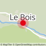
Departure: Champagny Le Haut, parking in the hamlet Le Bois
Arrival: same
Duration: 4h40 including 2h45 of ascent
Shorter and easier variant (blue level) of route 8 - The Plan des Gouilles refuge via the Enclos du Seil.
From the Bois car park (cross-country ski chalet), take the tarmac road, cross the torrent by the bridge. On the right, take the motorable track for about a hundred meters until the sign indicating on the left the path going up towards the Plan des Gouilles refuge.
- Sport
Hiking to the Plan des Gouilles refuge
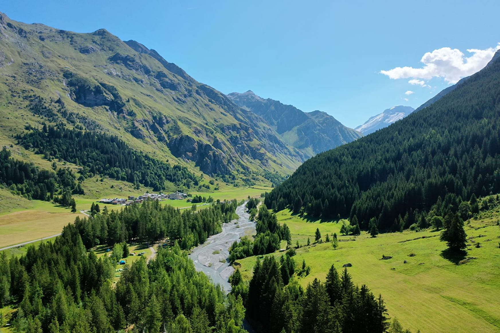
Walk up into the forest on the northern side of the dale taking a path to a combe and rising up along a ridge up to the refuge Plan des Gouilles.
Sport Hiking to the Plan des Gouilles refuge Champagny-en-Vanoise
About

Topoguides references
Sheet n°8b from the guide book.
Further informations
Stone, Ground
1 3


Prices
Free access.
Reception
Period of practice
From 01/05 to 01/11.
Subject to favorable snow and weather conditions.
Services
- Pets welcome
- Car park
- Free car park
Contacts
Access
- Not accessible in a wheelchair


