Take the path to the left of the gondola and follow it along the parking lot, then leave the path to the left leading to the Pierre à Ruskin. Take the forest track passing under the cables of the cable car. Shortly after, turn left onto the path that crosses a fairly dense forest, but offers pleasant views of the valley. Cross the Petit Balcon Sud. We quickly reach the Plan des Chablettes where some ruins of a creamery remain. Then continue to climb following the signs for Planpraz - Altitude 2000.
More information is available at the Tourist Office or the Office de Haute-Montagne and in our trail guide.
Warning : Trail conditions are subject to change, please check before you leave.
- Sport
Hiking to Planpraz from Chamonix
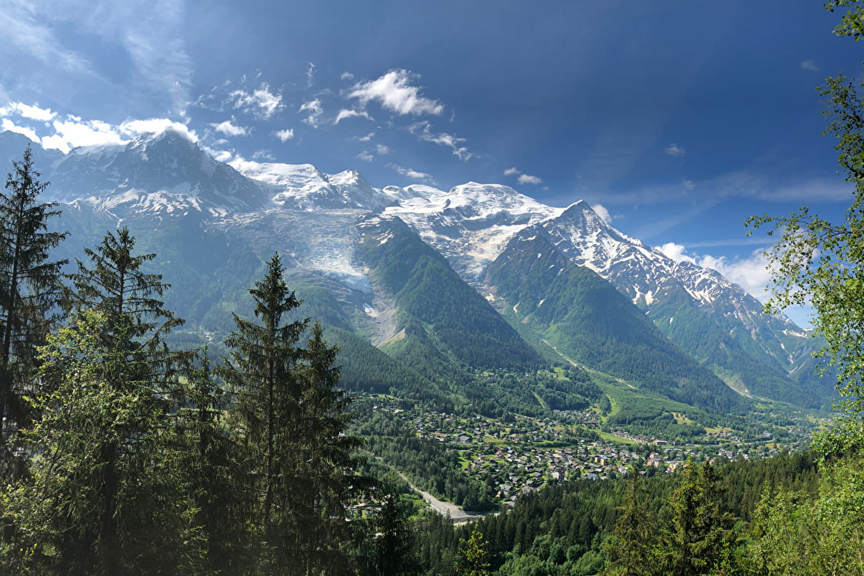
Green and flowery plateau. Panoramic balcony facing Mont-Blanc. Departure area for free flight and paragliding.
Sport Hiking to Planpraz from Chamonix Chamonix-Mont-Blanc
About

Further informations
Rock, Stone, Ground, Grit
1 2


Prices
Free of charge. Single trip or Return ticket if start at the Brevent lift Top.
Reception
Period of practice
From 15/05 to 31/10.
Subject to favorable snow and weather conditions.
Services
- Pets welcome
- Coach access
Contacts
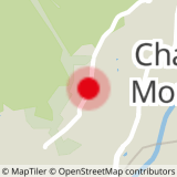
Access
Closest bus stop : Chamonix Center
Closest train stop : Chamonix Aiguille du Midi train stop
Closest parking : Les Moussoux / Saint-Michel car parks

