- Sport
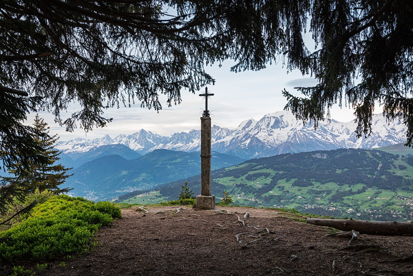
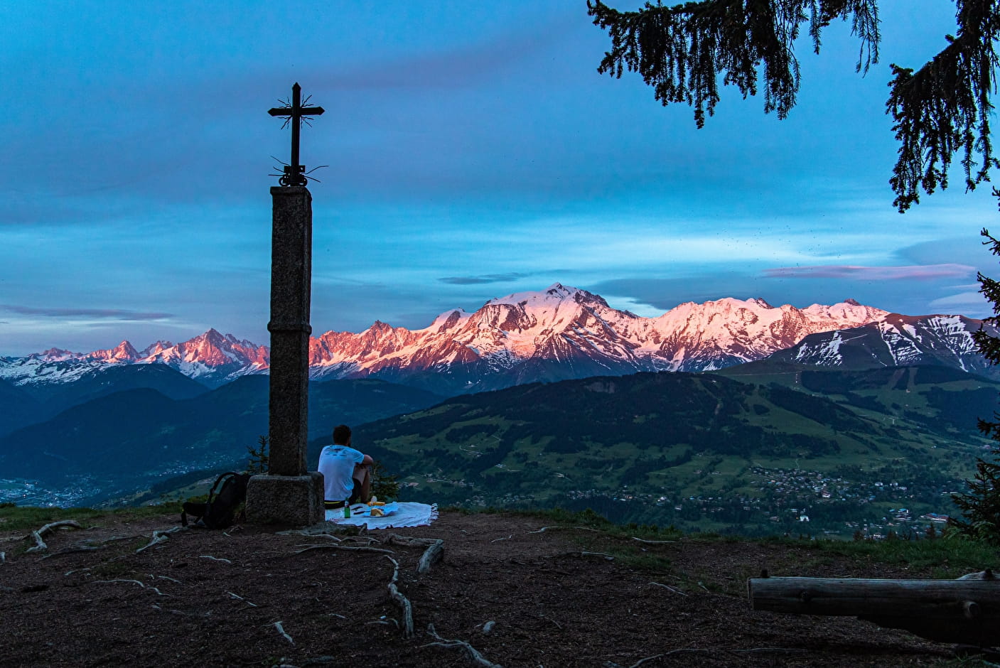
Hiking to "La Croix des Salles"
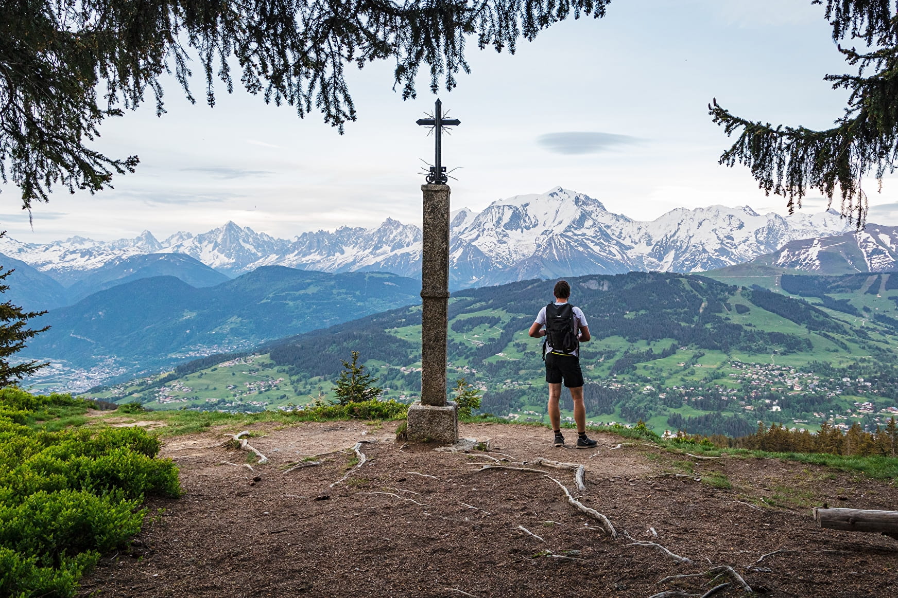
Walking through Combloux alpine pastures, with a stunning view of Mont-Blanc, the Aravis massif and the aiguilles de Varens.
Arrival at the top of Combloux ski area.
About

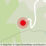
Map references
IGN TOP 25 3531 OT - Megève col des Aravis For more details, a hiking map is for sale at the tourist office for 6€.
Further informations
Stone


Yo can stop for lunch in one of our mountain restaurants: le Coeur d'Or, la P'tite Ravine, Les Terrasses du Cuchet, le chalet d'Emilie.
1/ From Cuchet car park, take the path following the direction of "le Chalet de la Vieille", then " l'Alpage de Beauregard".
2/ Continue up until you reach "la Croix des Salles".
3/ To go back down, take the direction of the Jaillet gondola, then Ravine.
4/ Follow Beauregard, then Cuchet.
Prices
Free of charge.
Reception
free access
Period of practice
From 05/01 to 11/15 : open daily.
- Pets welcome