A hiking loop of 2 to 3.5 hours, for average and experienced walkers, starting from the village's church or from the parking lot "Les Allemands" located a bit higher.
- Sport
Hiking route : the routes of the Epine
Savoie Mont Blanc's choice
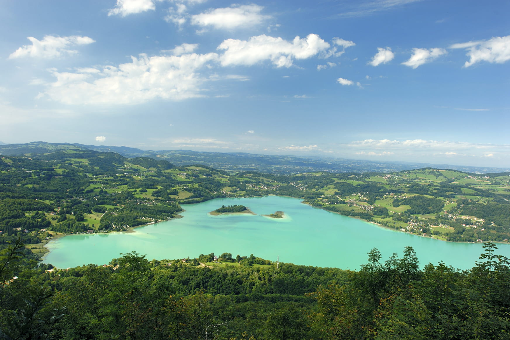
Route through the trees (2 - 3 ½ hrs) on the Epine mountain, towards the Col du Crucifix and the Col St Michel (former passage ways between France and the Savoie), with pretty views of the lake and its islands. Suitable for intermediate/good walkers.
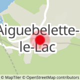
Sport Hiking route : the routes of the Epine Aiguebelette-le-Lac
About

1 3


Reception
Services
- Pets welcome


