
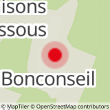
From the P4 car park, go up to the Bonconseil chapel. You can reach the chapel from the P2 car park by crossing the resort and its snow front. Take the rising road on the left behind the chapel and continue on the slightly rising forest road towards "Planay Dessus". A Once you arrive in the hamlet, take the direction of "Planay Dessous" then follow the signs to "Bonconseil". You will pass the "Moulin du pain perdu", an old mill in the forest which never worked properly (hence its name). Rejoin your starting point by following the direction of "Bonconseil".
- Sport
Hiking route: Pan Perdu circuit
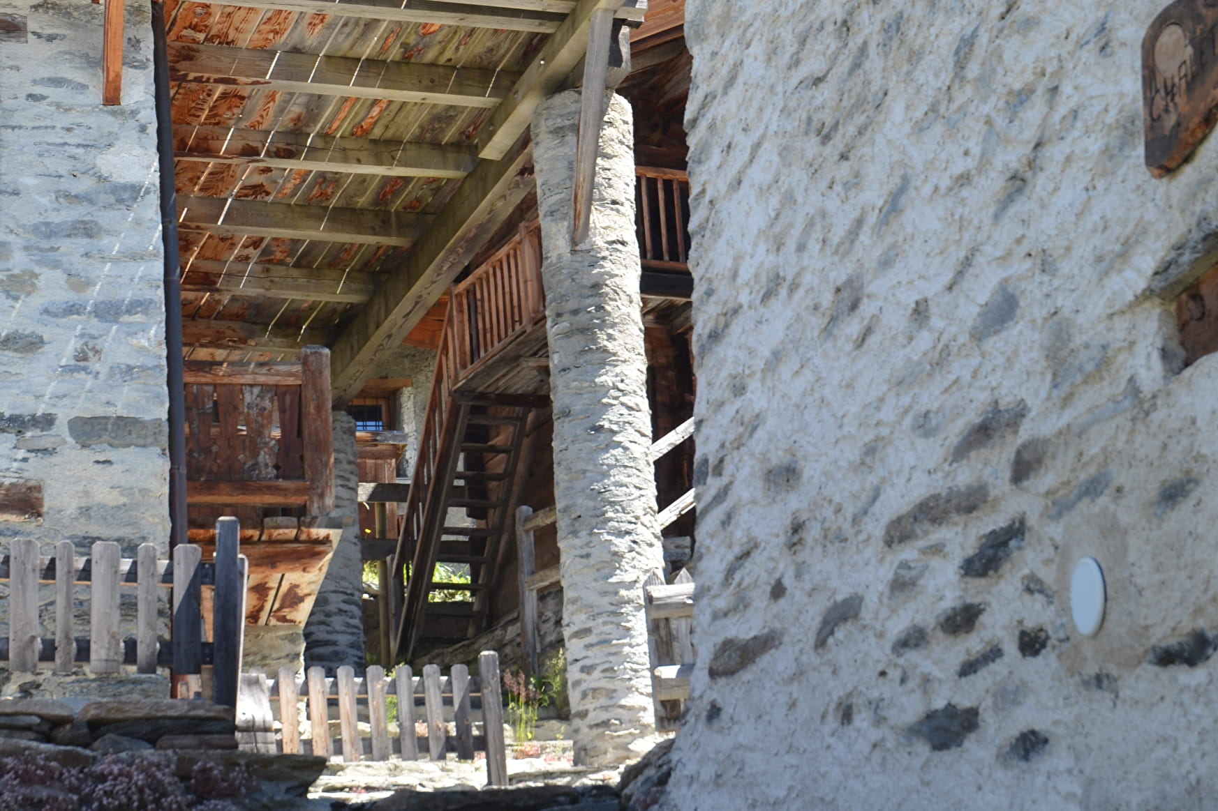
Nice easy loop starting from the resort and passing through two hamlets typical of the region with traditional stone chalets.
Map available from the Tourist Office.
Sport Hiking route: Pan Perdu circuit Sainte-Foy-Tarentaise
About

Further informations
Ground
1 2


Prices
Free access.
Reception
Period of practice
From 01/05 to 30/11.
Subject to favorable weather.
Services
- Pets welcome
- Picnic area

