At “Planellet”, follow the path in the direction of Mont d’Arbois.
At the summit follow the Mont Joux / Mont Joly direction.
Come down by the chalets d’Hermance, then le Planay, which goes down to le Planellet.
- Sport
Hiking : Mont Joly
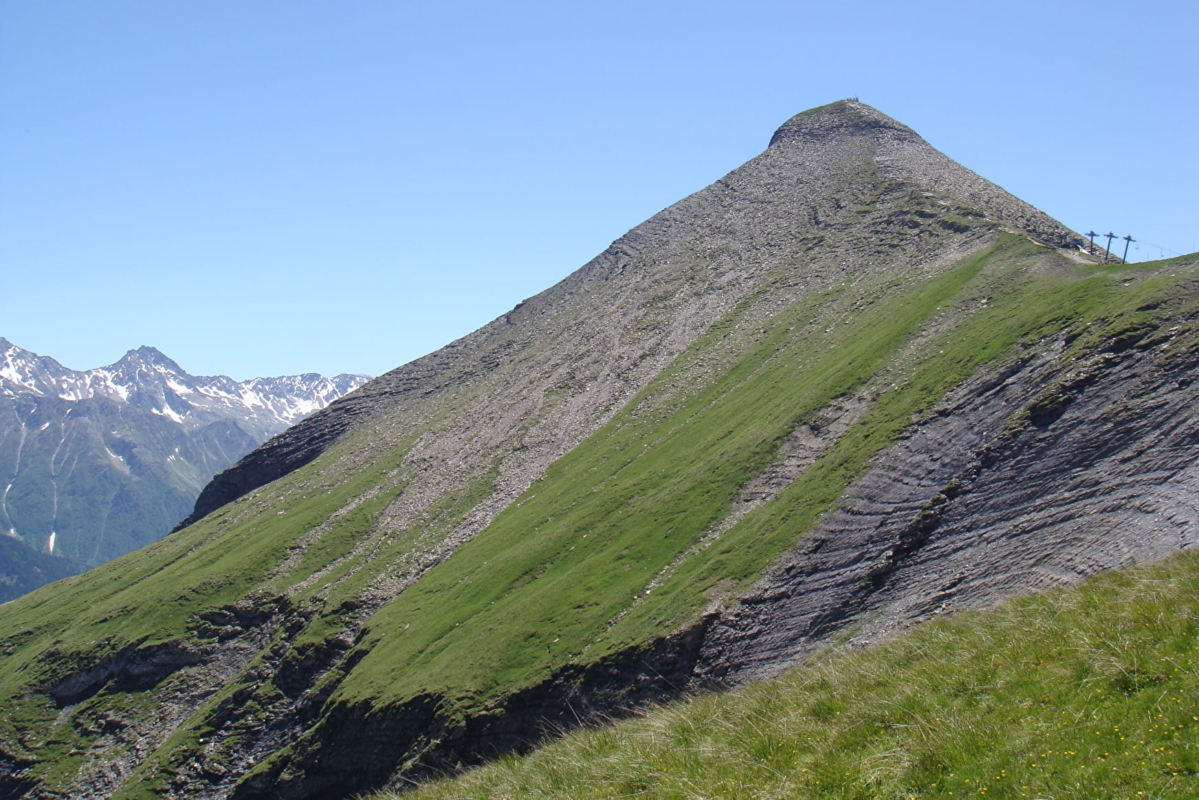
Sporty hike for confirmed walkers only. Chalets and forest of Hermance. On arrival at the summit of Mont Joly, view over the Mont-Blanc range, the Beaufortain, the Aravis and the Bauges.
Viewpoint indicator.
Sport Hiking : Mont Joly Megève
About

Further informations
Ground
1 1

Prices
Free access. Hiking map "Belvederes du Mont-Blanc" available in Megève Tourisme at 6€.
Reception
Dogs must be kept on lead.
Period of practice
From May to November.
Services
- Pets welcome
- Orientation board
