The hike around Champeillant is a family outing that allows you to discover beautiful panoramas without having to climb the peaks.
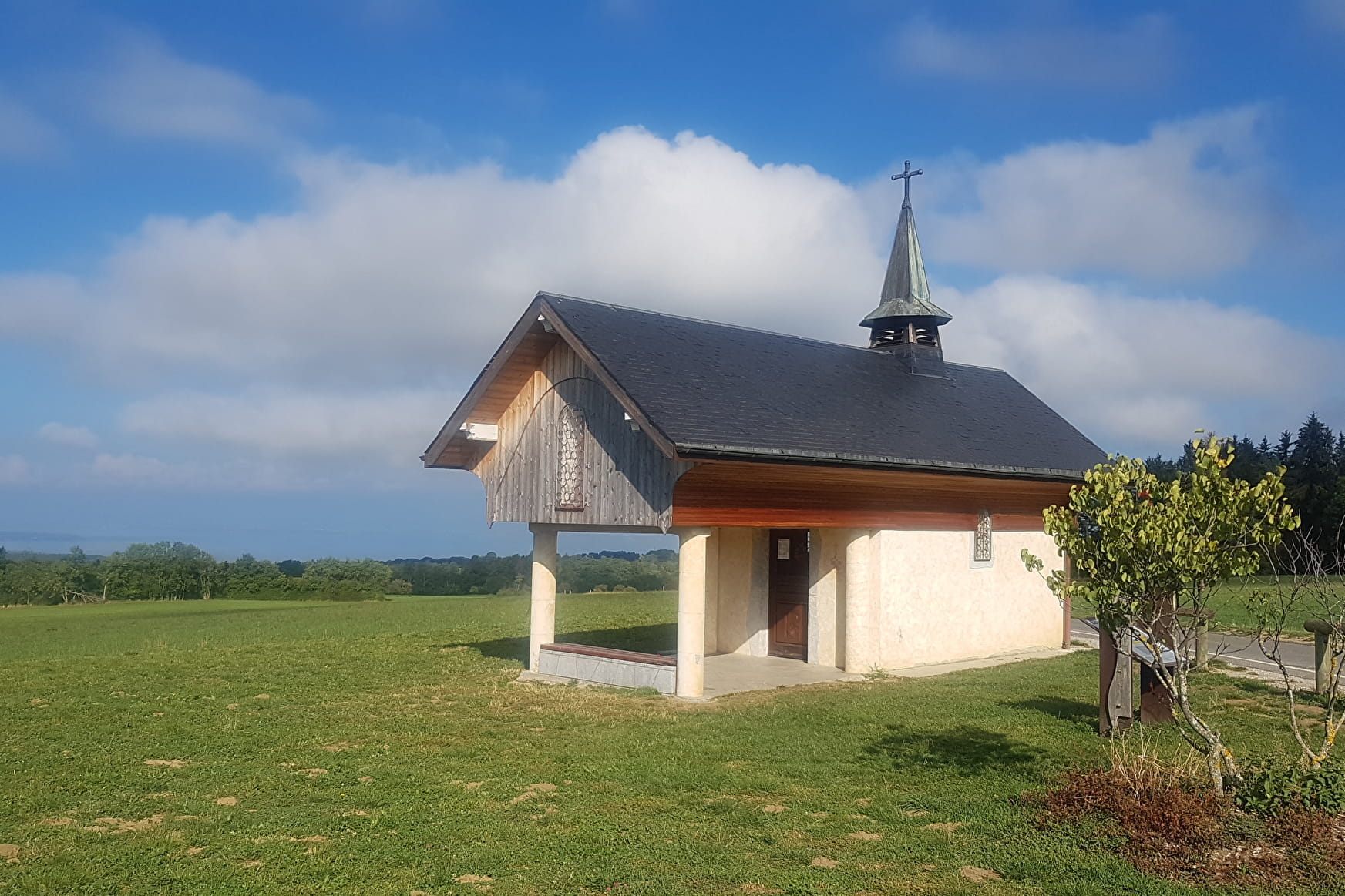
Starting from the Chapelle Notre-Dame-des-Sept-Douleurs de Champeillant, built in the first half of the 20th century, you'll discover part of the Gavot plateau overlooking Lac Léman.
No physical difficulties on this walk, which takes you across fields, from hamlet to hamlet.
- Sport
Hiking loop around Champeillant
Savoie Mont Blanc's choice
Champeillant is a remarkable site, part of the Geopark Chablais. Its offers a 360 ° view of Lake Geneva, Mont Blanc, Chablais, Jura and the Vaud Alps. This loop crosses rural landscapes of the Gavot plateau.
Sport Hiking loop around Champeillant Féternes
About

Signs
Departmental markings called P.D.I.P.R. on beige metal panel and green writing.
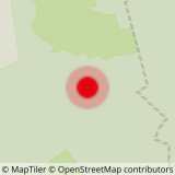
Map references
TOP 25 IGN 3528 ET Morzine Massif du Chablais Les Portes du Soleil
Topoguides references
On sale in the tourist offices of the pays d’Évian.
Further informations
Stone, Ground, Hard coating (tar, cement, flooring)
1 3


0/ Departure from Champeillant chapel.
1/ Take the road down to "Sur les Crêts". At the hamlet, turn left: the road becomes a track. At "Les Granges", follow the GR to the left as far as the "Les Clouz" sign. Take the left-hand road, then go straight on. At the second crossroads, turn right. When you reach the D21, continue straight ahead for 150 m, then turn left. 2/ In front of the observatory, turn right, leaving the track leading up to the Peron oratory (antenna), and continue straight ahead to reach the supermarket. Cross the D32 to enter the hamlet of Abbaye. Just before the end of the tarmac road, turn left onto a track. At the crossroads, turn right, then left after two fences. The track follows the fence to a meadow. Cross the meadow.
3/ At the end of the wood, turn left onto the dirt track that crosses the wood. It becomes asphalt and climbs back up to the D32 at the entrance to "Cré Bouché". Turn right onto the D32, then, before the first house, turn left onto a track. Keep to the right of the hangar and continue in the same direction until you reach a road on the left, that must be taken.
4/ At the next crossroads, turn left on the Gotay road to "Chez Portay". Follow the D21 to the left, then the first road to the right. After a few bends, it reaches a new junction. Go left up to the Champeillant chapel.
Champeillant is one of the remarkable sites of the Chablais Geopark. At the starting point, an orientation table and information panels allow you to better understand the evolution of Evian mineral water and the geological specificity of the territory.
Prices
Free access.
Reception
Pets allowed on a lead only.
Period of practice
All year round.
Accessible depending on favourable weather conditions.
Subject to favorable snow and weather conditions.
Services
- Pets welcome
- Car park
- Parking
- Picnic area
- Orientation board
Contacts
Access
Departure from the Chapelle de Champeillant car park.


