Start: Glandon pass. From the parking, go to the right and follow the ridge path (view on the road coming from St Colomban). At the Sous le Col d’en Haut hamlet, follow the path, cross the torrent. The path goes up progressively and joins up with another start on the Glandon pass.
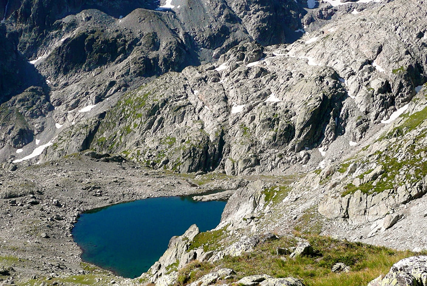
Descriptive: When you’re in the valley, stay on the right bank (do not cross the footbridge). After the lake at the Croix pass, a big rock remembers the past barrier separating Savoy from France: on one hand the Savoy cross, on the other side a fleur-de-lis.
- Sport
Hiking : Lac et Col de la Croix
Savoie Mont Blanc's choice
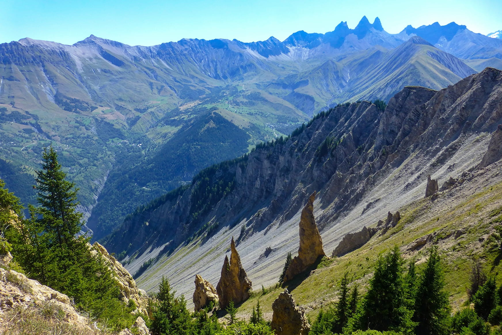
Route allowing to admire the Aiguilles of l’Argentière, the Madame hamlet, the Etendard and a part of the Chartreuse.
Sport Hiking : Lac et Col de la Croix Saint-Colomban-des-Villards
About

1 10


Prices
Free of charge.
Reception
Period of practice
From 15/05 to 01/12.
Services
- Pets welcome