Black itinerary: Very hard: High mountain itinerary with entrances at pass and summits, 1000m of elevation gain, trips at days, route with technical difficulty (such as scree, névé, glacier, rocky bar…), well train and experienced hiker mastering alpine technical (such as ice axe, clamps, rope…)
- Sport
Hiking : Lac de l'Ane (2417m)
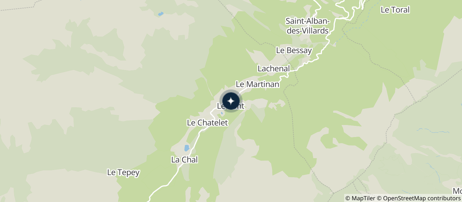
Start: At the limit of the Savoy and Isère. Be careful presence of herds.
About

Signs
Directional brochures fixed on wood stakes, walls and rocks.
Further informations
Ground
Prices
Free of charge.
Reception
Period of practice
From 15/05 to 01/12.
Services
- Pets welcome
Contacts
Access


