- Sport
Hiking "La Chapelle de Jacquicourt" n°9
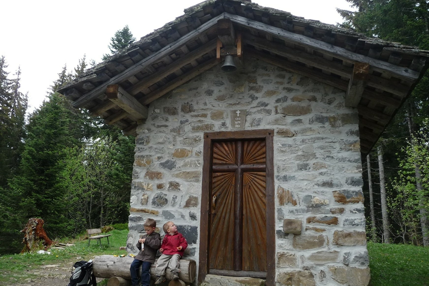
Very nice hike, with at the end discovery of the Chapel Jacquicourt.
Sport Hiking "La Chapelle de Jacquicourt" n°9 Verchaix
About
Further informations
Stone, Ground
1 1

Rise Time:2h30
Lowering time:1h45
Starting point altitude: 788m
Maximum Altitude:1610m
Elevation: 822m
Difficulty: quite difficult
Signposted: Yes
Common: Verchaix
Nature of the terrain: trails and forest paths
Recommended Period: from June to the first snows
Recommendation: site class biotope, same recommendations that in the natural reserves A wonderful way to discover the Plateau of Loex (pronounced "Law") and its peatlands which enjoy protection biotope, in the same way as a natural reserve.
Reception
Period of practice
From 05/01 to 11/30 : open daily.
