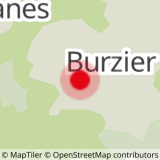
Departure: Burzier car park
This path is accessible to 4x4s every day without restrictions.
1. start this route by the motorable path at the entrance to the car park.
2.the slope is a little steep at the start, but only around 500 m (15 min)
3.You then arrive at a crow's feet with the direction of Doran in front of you and to the left that of Mayères
4. continue straight towards Doran
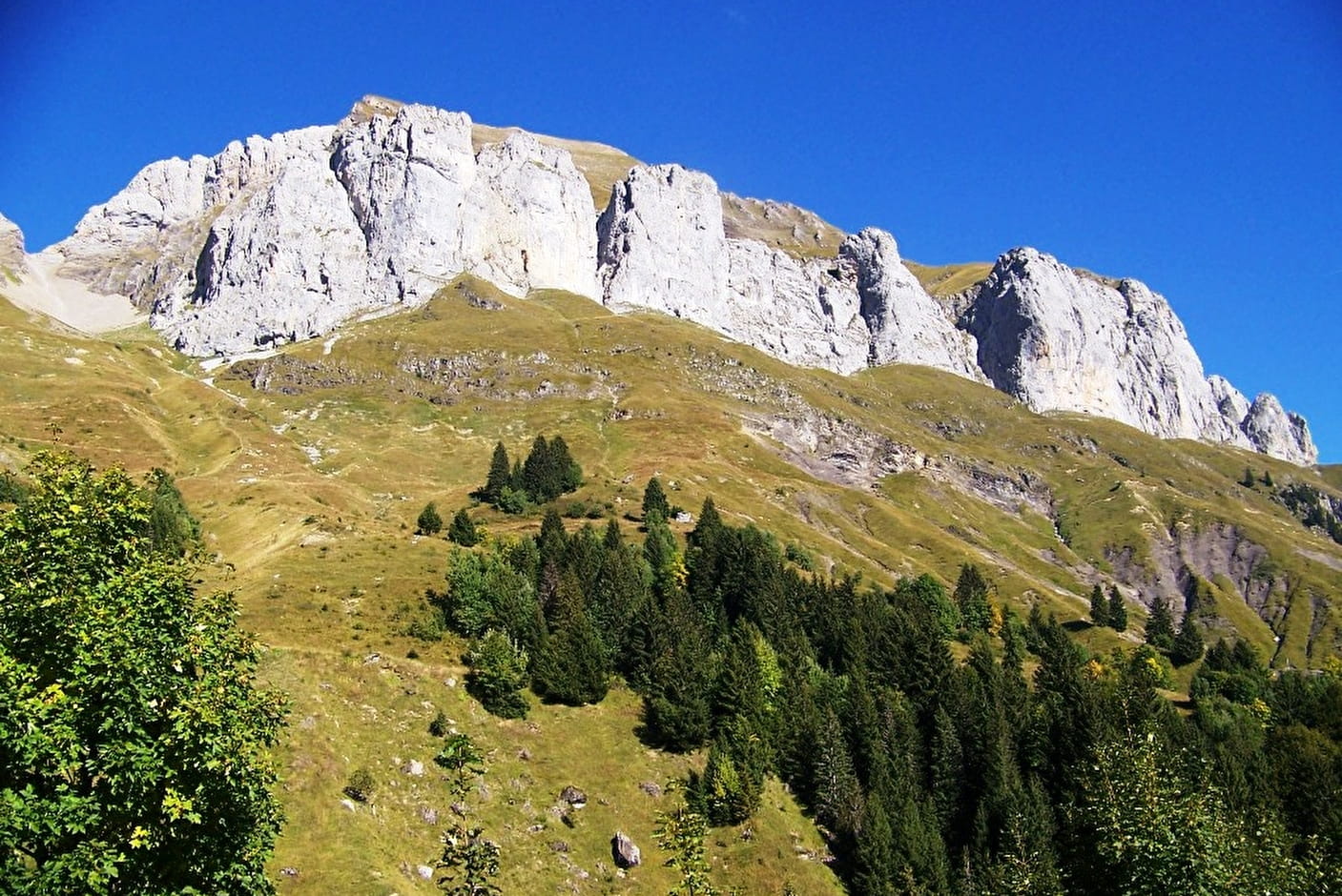
5. this path winds along the rock faces where you overlook the Sallanches valley with a view of the FIz chain and the Mont-Blanc massif.
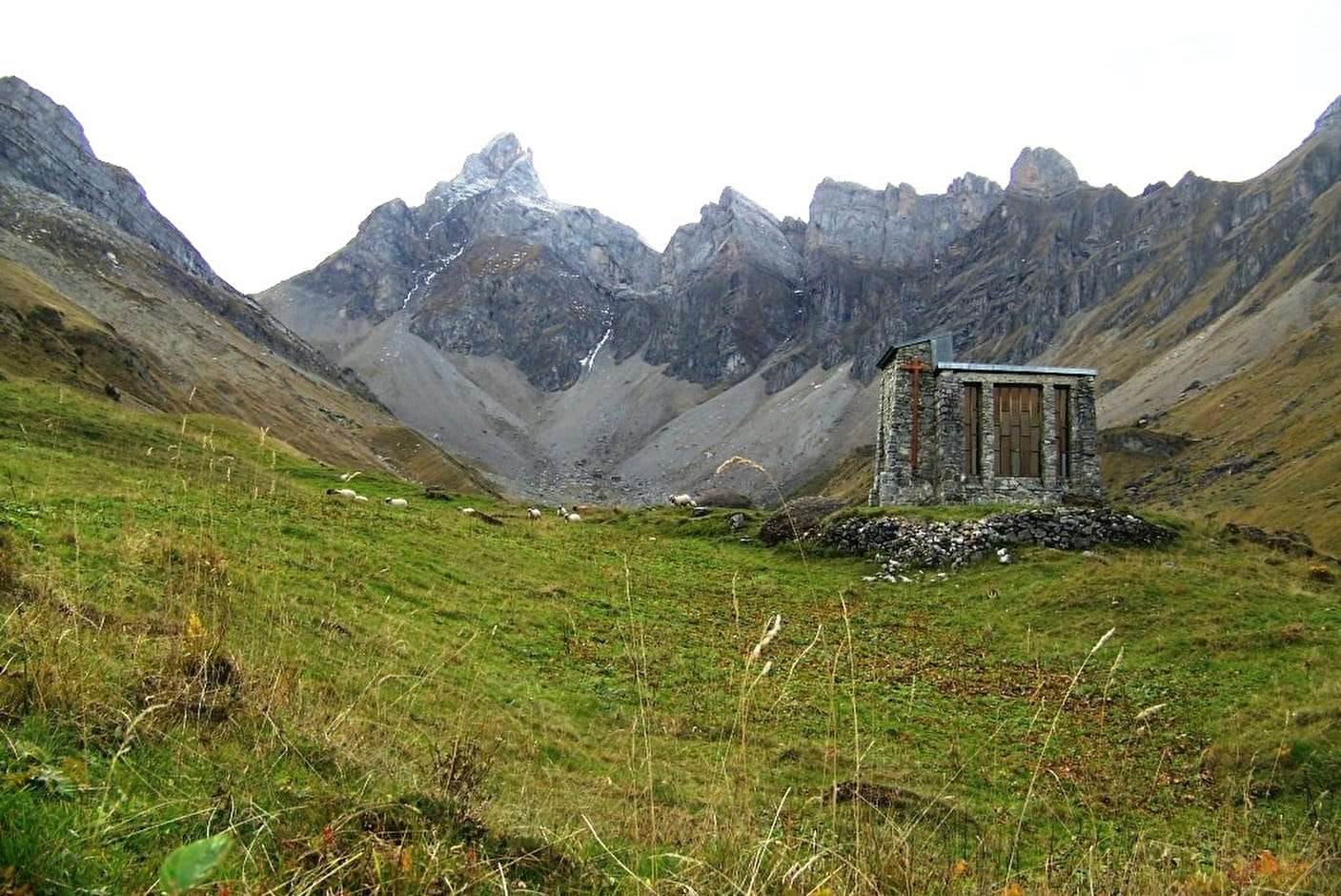
6. after a little over 1 hour of walking you arrive in the valley of Doran.
Nestled in the heart of a grandiose mountain cirque dominated by Pointe Percée, the highest point of the Aravis, the Doran pasture invites you to discover - from June to September - its ancestral agro-pastoral and cheese activity where you can buy cheese. fresh, the astonishing history of a chapel built by the scouts, the fauna and flora of the alp and in particular the astonishing Bearded Vulture, reintroduced here a few years ago. And of course the charming Doran refuge which will welcome you there for a drink, a blueberry pie or even offer you a lodging for the night.
Many hikes also start from this mountain pasture: the Saix ridge to reach Mayères, the Col de Doran for Quatre-Tête or Pointe Percée or even the towers and Pointe d'Areu ....
7.return by the same route
Walking time is approximate and does not include break times.
Go on a safe hike!
This description allows you to orient yourself globally but does not replace a hiking map at 1/25000 or other topoguides that you can find in your tourist office! In Sallanches, our Office of Guides & Accompanists also offers a wide choice of outings accompanied by mountain professionals providing you with complete expertise on the environment and alpine nature, think about it!
Whatever your hike, check the weather before heading out.
Remember to take cereal bars, sufficient water, sunglasses, sunscreen, a small first-aid kit, as well as clothes suitable for your outing depending on the season in your backpack. and the forecast forecast.
- Sport
Hiking & Jeep Trail: Doran via Burzier
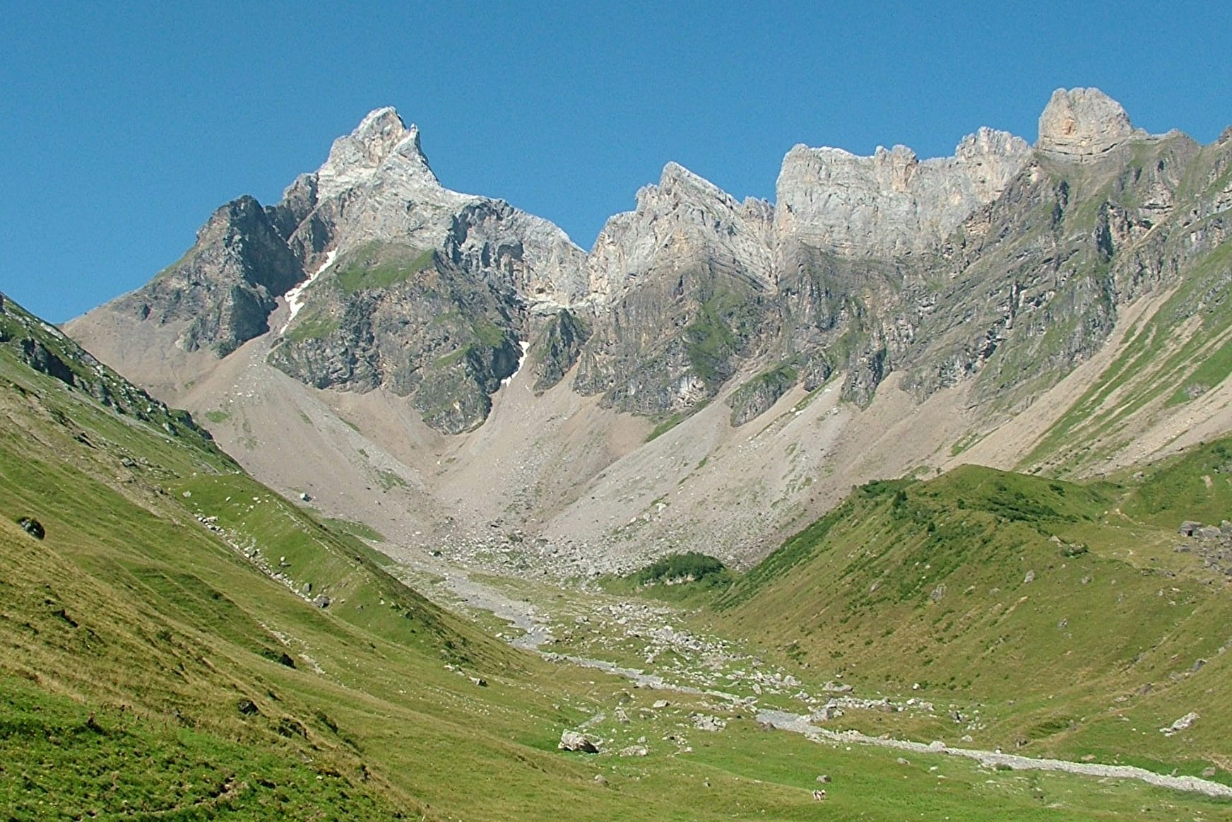
This path is easier and shorter than the Gypaète pedestrian trail, it is also more in the sun and provides 4x4 access all year round. Beautiful rocky escarpments dominate the valley before arriving at the magnificent Vale of Doran.
Sport Hiking & Jeep Trail: Doran via Burzier Sallanches
About

Further informations
Stone, Grit, Groomed trail
1 12


Prices
Free access.
Reception
Period of practice
From 15/04 to 15/10.
Subject to favorable snow and weather conditions.
Services
- Pets welcome
- Accommodation
- Restaurant
- Car park
- Coach parking
- Free car park