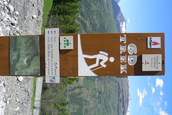
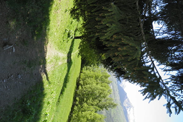
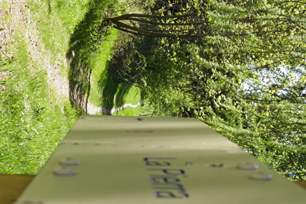
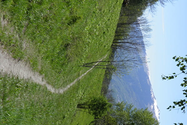
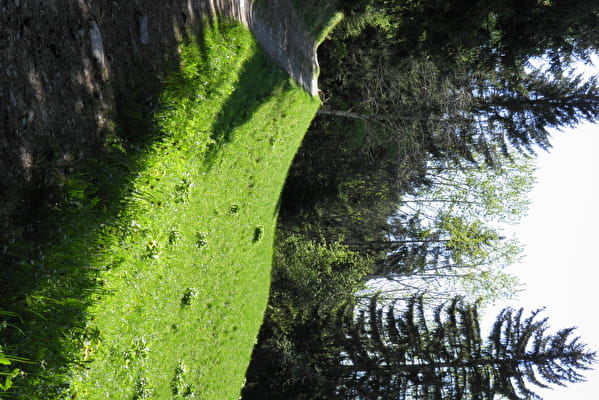
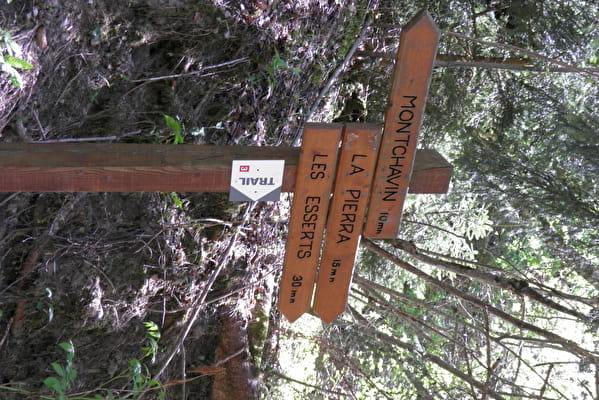
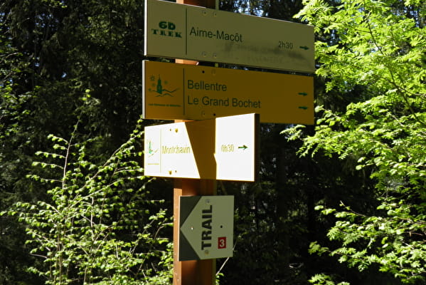
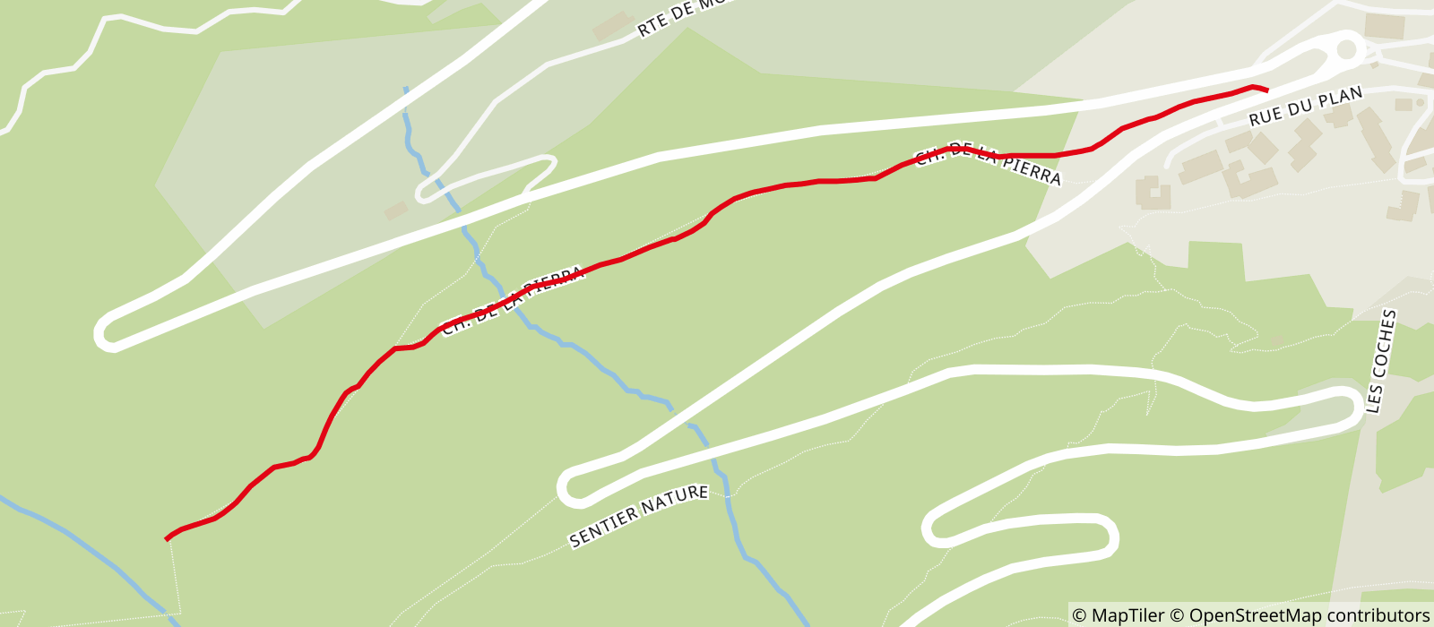
From the Porte de Montchavin bend, take the sidewalk towards Les Coches for 50m and cross the road. At the entrance of the path, a large wooden totem marked 6D, from there, a slight descent and then the path keeps a flat profile allows access to the Pierra (ruin on the right of the path). The return is by the same route.
Possible walk with a baby carrier.
- Sport
Hiking itinerary : Le Chemin de la Pierra
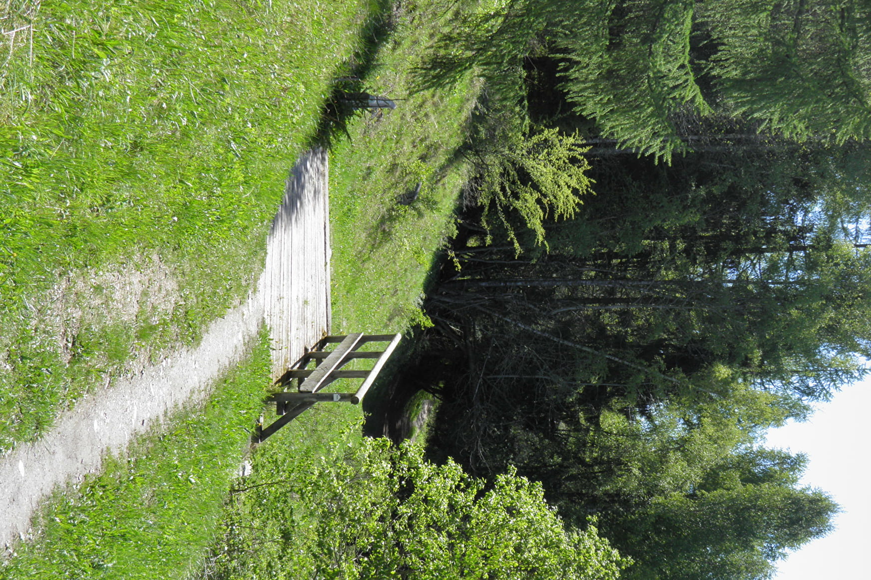
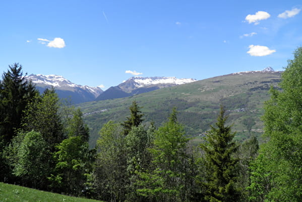
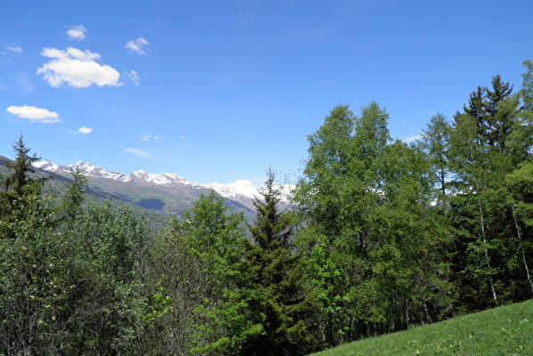
This is a very pleasant walk on a wide path through mountain forests and meadows.
About
Signs
The path is signposted with beige panels and blue writing.
Map references
IGN map Les Arcs La Plagne 3532ET on sale in sports stores and newsagents - You can also find all our itineraries on sale in our tourist offices (€5).
Further informations
Ground
Prices
Free access.
Reception
Whatever your hike, remember to take cereal bars, sufficient water, sunglasses, sun cream, a small first aid kit, as well as clothes adapted to your outing according to the season and the weather forecast.
Dogs are welcome.
Period of practice
From 29/06 to 31/08/2024.
- Pets welcome
Contacts
Access
Park in the car park along the road to Les Coches on the right after the roundabout, 1st exit towards Les Coches or if there is no space, park on the left in the car parks, the path is at the top of the car park on your right.


