Follow the Combafort road in the direction of Demi-Quartier until you reach the car park and at the intersection with the “Vers le Nant” road turn left. At the following crossroad turn right in the direction of “Choseaux”.
Enter the hamlet of Choseaux and at the crossroad turn left before the Baroque chapel and continue in the direction of “Darbelets”. When you reach “Darbelets” continue in the Mont d’Arbois / Bettex direction. The path climbs through pastures and forests.
Under the cable car turn left in the direction of Encraty. The path goes down to the middle station of the Princesse cable car (restaurant). Continue downhill by the Encraty road and 100 meters after the hairpin turn, turn right onto a path that takes you back to Combafort and the car park.
- Sport
Hiking : Combafort - Plein Rocher
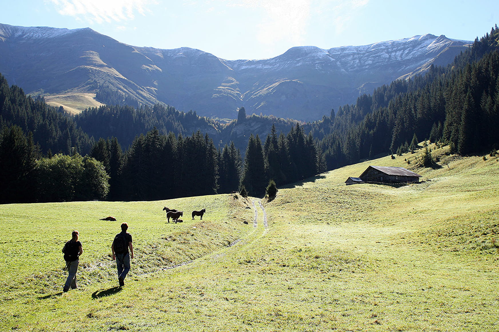
Pay close attention: badger sets and marmot burrows, panoramic views over the Aravis, the Arve Valley, Megève and the Arly Valley.
Sport Hiking : Combafort - Plein Rocher Megève
About

Further informations
Ground
Prices
Free access.
Reception
Dogs must be kept on a lead.
Period of practice
Throughout the year : open daily.
Services
- Pets welcome
- Car park
- Free car park
Contacts
Access
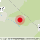
Starting point at Combafort parking.